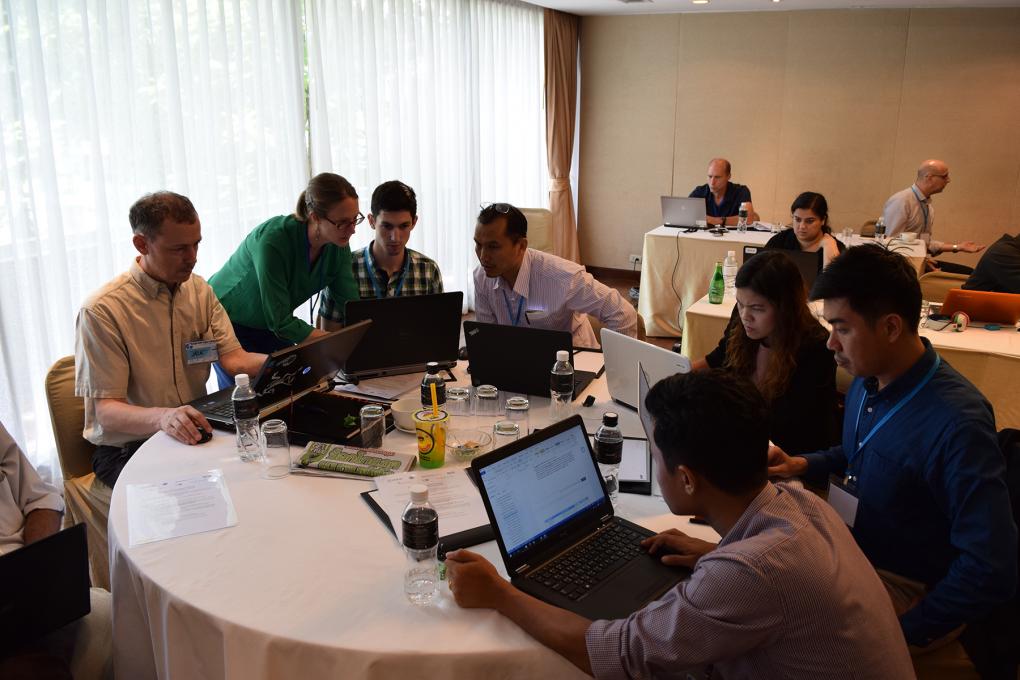
Google Earth Engine Training
Organized and supported by: The USAID & NASA supported SERVIR-Mekong Program, United States Forest Service – Remote Sensing Applications Center (USFS-RSAC), ADB – Core Environment Program, SilvaCarbon, and Google Earth Engine

SERVIR-Mekong, a USAID-NASA partnership, helps decision makers in the Lower Mekong Region utilize GIS and Remote Sensing information to inform climate related activities. SERVIR-Mekong is now organizing an event that will bring the innovative Google Earth Engine platform to technical specialists in the region.
Google Earth Engine is a cloud based geospatial remote sensing processing platform, complete with an extensive public data catalog. It is available via a web-based JavaScript Application Program Interface (API) called the Code Editor. This platform is where users can write and execute scripts to share and repeat geospatial analysis and processing workflows, such as land cover mapping. In this two-day training session you will be introduced to and practice working in the Earth Engine Code Editor platform, explore some basic programming concepts, and learn about Earth Engine data structures and methods, functions, and algorithms. The course will be structured with presentations and demonstrations to introduce material, followed by hands on exercises that participants complete individually or in small groups.
Course Objectives:
Build on your knowledge and understanding of:
- The Google Earth Engine Code Editor platform by investigating a pre-written example JavaScript script.
- Become familiar with geospatial Earth Engine Objects and their associated functions: images and image collections, features and feature collections, and geometries.
- Available resources to continue learning Earth Engine concepts after the course has concluded.


