Using Space for Disaster Risk Reduction
Earth observing satellites offer a unique perspective of our environment from the vantage point of space. Repeated measurements of the Earth’s subsystems such as the biosphere, atmosphere, lithosphere, hydrosphere, and of humans’ interactions with their environments, allow for a better understanding of Earth system processes, and they can provide input for decision making in areas of environmental management and disaster risk reduction.
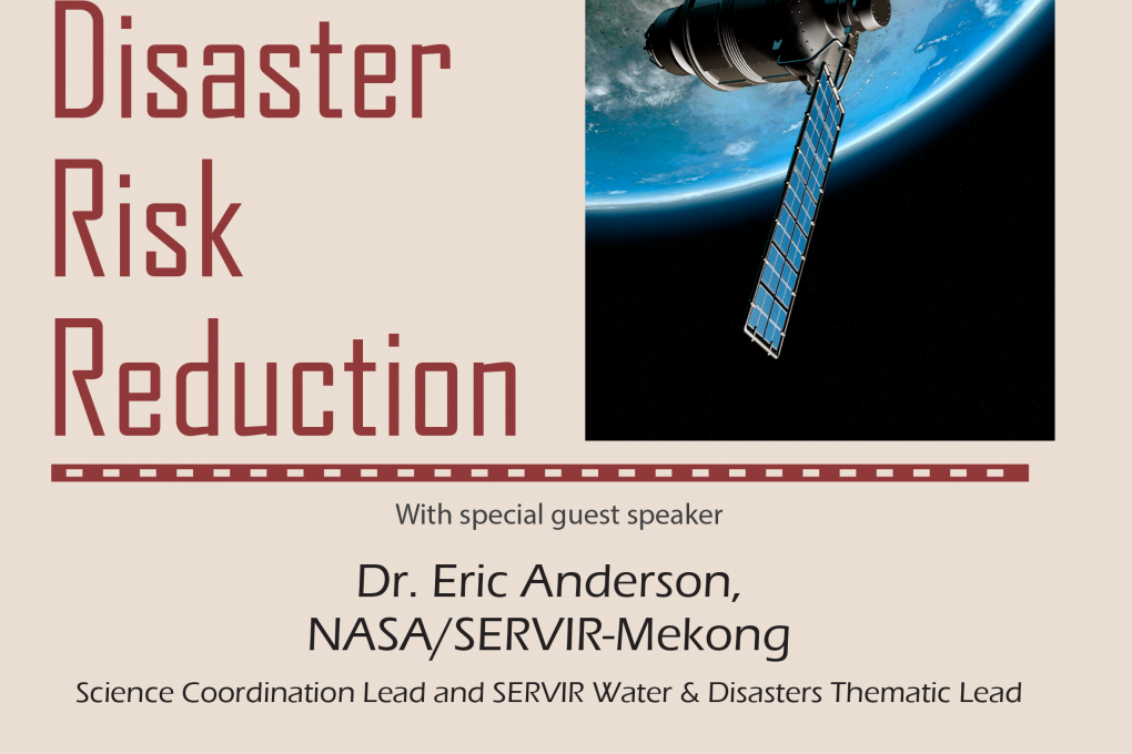
Earth observing satellites offer a unique perspective of our environment from the vantage point of space. Repeated measurements of the Earth’s subsystems such as the biosphere, atmosphere, lithosphere, hydrosphere, and of humans’ interactions with their environments, allow for a better understanding of Earth system processes, and they can provide input for decision making in areas of environmental management and disaster risk reduction. SERVIR is a joint initiative of the US National Aeronautics and Space Administration (NASA) and the US Agency for International Development (USAID) that began in 2005 and has been active in applying Earth observations for sustainable development in many regions around the world, recently the Lower Mekong and West Africa regions. This talk will highlight some successes achieved and lessons learned through SERVIR in Central America, Eastern & Southern Africa, and the Hindu Kush-Himalaya region, focusing on disasters. We will also present opportunities for enhanced decision making with Earth observations and geospatial technologies in the Lower Mekong region.
Bio of Guest Speaker
Dr. Eric Anderson is a Research Scientist at the University of Alabama in Huntsville Earth System Science Center and is a Graduate Affiliate Faculty member of the UAH Atmospheric Science Department. He serves as the NASA/SERVIR-Mekong Science Coordination Lead and SERVIR Water & Disasters Thematic Lead from the NASA Marshall Space Flight Center in Huntsville, Alabama. Eric’s background is in environmental science from McGill University and Earth System Science from the University of Alabama in Huntsville. His research focuses on rainfall-triggered landslide hazard mapping and landslide runout modeling. He has taught numerous GIS and remote sensing workshops at the professional level and Environmental Earth Science at the university level.
Contact Information
Hamid Mehmood
hamid.mehmood@adpc.net