
Using space data for ecosystem service accounting
Rapid land use changes in the Red River Basin threaten water resources. Urbanization, deforestation, and intensive agriculture cause pollution, ecosystem degradation, increased greenhouse gas emissions, floods and droughts. As a result of these practices, land and water resources (ecosystems) are degrading at such a rate that they could soon be unable to fulfil the needs of communities, particularly for the most vulnerable groups.
Understanding and quantifying these ecosystem services and the impact of such practices remains a challenge. As a result, regional and national planning systems lack the information to make evidence based decisions to support strengthened ecosystem services. The innovative integration of earth observation data and hydrological simulation models can play a critical role in addressing this challenge.
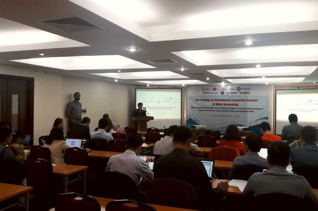
A training on Hydrological Ecosystem Services in Water Accounting was organized at Thuy Loi University in Hanoi on November 3rd and 4th, in the framework of the MK27 project funded by the Water, Land and Ecosystems program of CGIAR, and the Vietnam Forests and Deltas (VFD) project funded by USAID. This training is strongly linked to SERVIR-Mekong, funded by the U.S. Agency for International Development (USAID) and in partnership with the National Aeronautics and Space Administration (NASA), which supports governments and regional institutions in the Lower Mekong region to use publicly available satellite imagery and geospatial technologies.
During this event, trainers from FutureWater, Winrock and the Institute for Water Resources Planning (IWRP) provided demonstrations and hands-on sessions concerning the quantification of hydrological ecosystems based on remote sensing and simulation modelling. Participants were introduced to this innovative solution to a complex issue along with new techniques to account for ecosystem services in an integrated Water Accounting framework.
This training continues to build on the broader effort in the region with SERVIR-Mekong to strengthen the ability of government and civil society to access and use earth observation data for building resilience to climate change and promote sustainable growth.