
Mekong River Commission Utilizes Space Technology to Improve Flood Forecasting
Lower Mekong countries suffer from the effects of seasonal flooding and flash flooding caused by monsoon rains and tropical storms. Regional and national level organizations and agencies require a range of information, forecasts, and decision-support tools to better prepare for, monitor, issue warnings, and respond to flood risk.
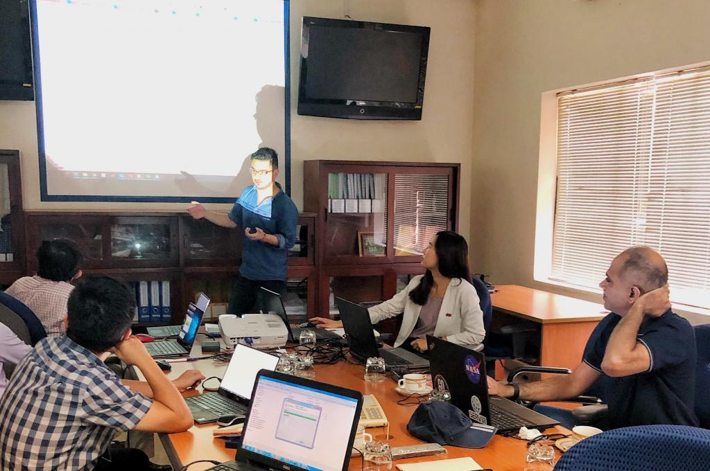
To help address the issue, SERVIR-Mekong is supporting the Mekong River Commission (MRC) Secretariat in using new generation satellite-derived precipitation products to increase flood forecast accuracy. By collaborating with SERVIR-Mekong, the MRC Secretariat is able to improve its flood forecasting system using new satellite data to estimate rainfall to overcome the region’s existing challenge of lacking rain gauge stations and inaccurate rainfall data. This cooperation between the MRC Secretariat’s Regional Flood and Drought Management Center (RFDMC) and SERVIR-Mekong builds upon the RFDMC's current use of the Tropical Rainfall Measuring Mission (TRMM) data, which was developed under a partnership between the U.S. National Aeronautics and Space Administration (NASA) and the Japan Aerospace Exploration Agency SERVIR-Mekong introduced the updated Global Precipitation Measurement (GPM) precipitation data, performed regional bias-correction, and integrated the data into SERVIR-Mekong’s existing Virtual Rain and Stream Gauge Information Service tool. The integration of the GPM data will improve the flood forecasting’s hydrologic model accuracy because of the higher spatial and temporal resolution of the precipitation data.
“Bias corrections with the global rainfall product from the GPM will significantly improve our flood forecasting and warning system for better accuracy,” said Dr. Lam Hung Son, Head of the MRC Secretariat RFDMC. “We want to continue our cooperation with SERVIR-Mekong to include deeper efforts towards a holistic plan, which includes both floods and droughts.”
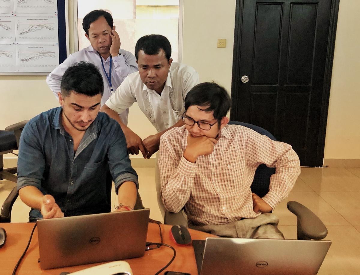
The RFDMC team continues to co-develop and test the method and tool for the GPM bias correction for their flood forecasting system. The MRC Secretariat also plans to continue to work with SERVIR-Mekong to improve their flash flood guidance system following the successful implementation of the flood forecasting service. This will enable governments of the Lower Mekong to make better informed decisions in providing flood forecasting services and minimize the impact of floods and losses on affected communities in the near future.
SERVIR-Mekong, a joint initiative between the U.S. Agency for International Development (USAID) and the U.S. National Aeronautics and Space Administration (NASA), aims to support the government of Cambodia, Lao PDR, Vietnam, Thailand, and Myanmar as well as regional institutions and other key stakeholders in Lower Mekong countries to utilize publicly-available satellite imagery and geospatial tools to improve environmental management and help build greater resilience to the negative effects of climate change. This particular work with the MRC Secretariat was made possible through support of a Ph.D. candidate from Delft University of Technology and IHE Delft Institute for Water Education, the Netherlands, who has been interning with ADPC and working closely with SERVIR-Mekong scientists on the service for the MRC Secretariat since January 2019.
The Mekong River Commission (MRC) is the only inter-governmental organization that works directly with the governments of Cambodia, Lao PDR, Thailand and Vietnam to jointly manage the shared water resources and the sustainable development of the Mekong River.