
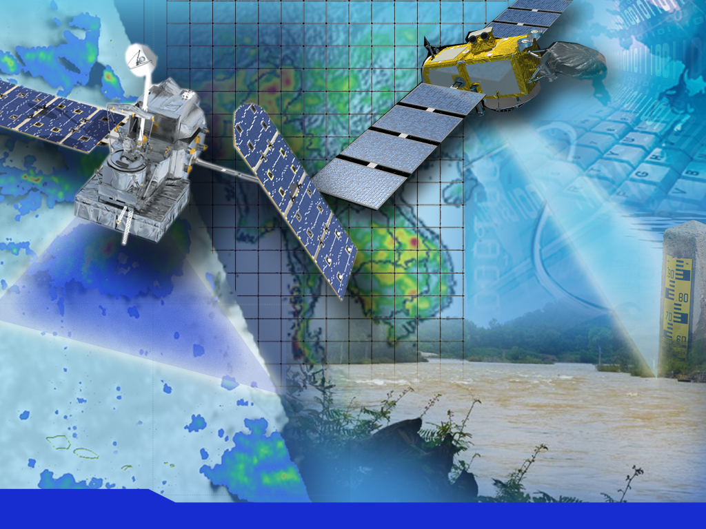
Satellite Radar-derived Virtual Rain and Stream Gauge Data Service
This service provides near real-time rainfall and stream height data from publicly available satellite measurements by creation of a virtual network of rain gauges and stream gauges at points widely distributed over the entire Lower Mekong Region.
Meteorological and hydrological stations are generally maintained by the National Hydro-meteorological Services in the Lower Mekong region. These networks of observation stations, which measure rainfall and stream heights among other variables, are irregularly distributed -- denser in some areas and more sparse over complex terrain and rural and mountainous areas. This irregular distribution creates an information gap in time and space, ultimately hindering decision-making in long-term planning and development. In addition, river flow data, especially transboundary data, is not widely shared among countries.
Application Purpose
This service provides, via a web portal and OpenGIS® Web Map Service Interface Standard data feeds, high-resolution regular gridded near-real time data based on data from a virtual network of rain gauges and stream gauges widely distributed over the entire Lower Mekong region.
The service:
- leverages a wider range of ground measurements to ensure better calibration of TRMM / GPM and Envisat / Jason-2 data;
- provides more convenient access to TRMM and GPM data products; and
- provides free access to the data streams, and detailed guidance on using these for a variety of applications such as those listed below.
Application Uses
The service provides users with improved, near-real time, virtual rain gauge and virtual stream gauge data sets that can be used for applications such as “now-casting,” hydrological and hydrodynamic modeling, flood forecasting, landslide risk assessment, early warning against floods and landslides, and river basin management. It also provides data for calibrating satellite rainfall estimates.
Various Lower Mekong region hydro-meteorological agencies.
National hydrometeorological services
- National disaster management agencies
- Water resources departments
- Hydropower companies
- Irrigation departments
- Agriculture departments
- Research institutes
- TRMM and GPM precipitation data
- Envisat and Jason-2 RADAR altimetry data
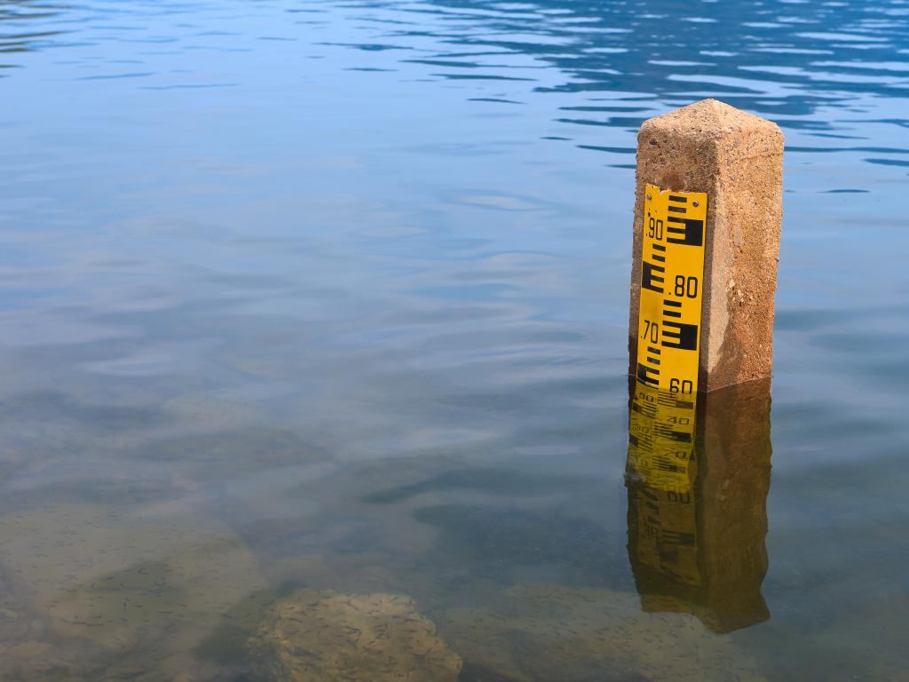
- Ground rain gauge and stream gauge measurements