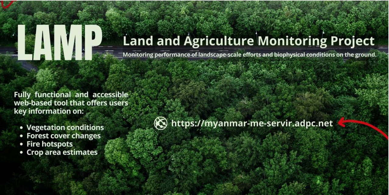
Land and Agriculture Monitoring Project (LAMP)
The Land and Agriculture Monitoring Project (LAMP) tool replicates SERVIR SEA's Cambodia Biophysical Monitoring and Evaluation Dashboard platform and consists of five key components. The default Biophysical Monitoring layer evaluates changes in broad-scale biological productivity using the Enhanced Vegetation Index (EVI) — a measure of relative biomass particularly suited to high-biomass regions, derived from MODIS multispectral data. The other four components are Forest Monitoring (forest gain and loss, derived from Landsat); Crop Monitoring, covering seasonal rice cultivation area across the 11 rice-producing regions and states of Myanmar; Fire Monitoring (hotspots and burned area, derived from MODIS); and Mining Monitoring, which tracks mine extension and the associated land-cover change and environmental impacts of extractive activities.
The user interface leverages Google Earth Engine (GEE), a cloud-computing platform that pairs extensive data archives with substantial processing power. Using the continuous time-series feature, users can select a baseline period, an evaluation period, and an area of interest for each component, allowing easy comparison between "before" and "after" intervention timeframes. Results can be exported in a report-style format, enabling decision-makers and non-technical users alike to apply the analysis directly.
Application Purpose
Beyond monitoring the performance of landscape-scale efforts and biophysical conditions on the ground, the LAMP tool offers valuable insight into the possible drivers of change — including environmental factors, urban expansion, infrastructure development, and mining-related land change and its associated environmental impacts.
🛰 Check this tool out ➡ https://myanmar-me-servir.adpc.net
Read more ➡ https://bit.ly/3TmvqST
Application Uses
The LAMP tool can be used to monitor the performance of landscape-scale efforts and biophysical conditions on the ground, and to track changes in the landscape and rice cultivation for food-security purposes in Myanmar. The same monitoring approach also supports observation of mining-related land change and its environmental impacts, helping to identify where extractive activity is reshaping the landscape.