Satellite Radar-derived Virtual Rain and Stream Gauge Data Service
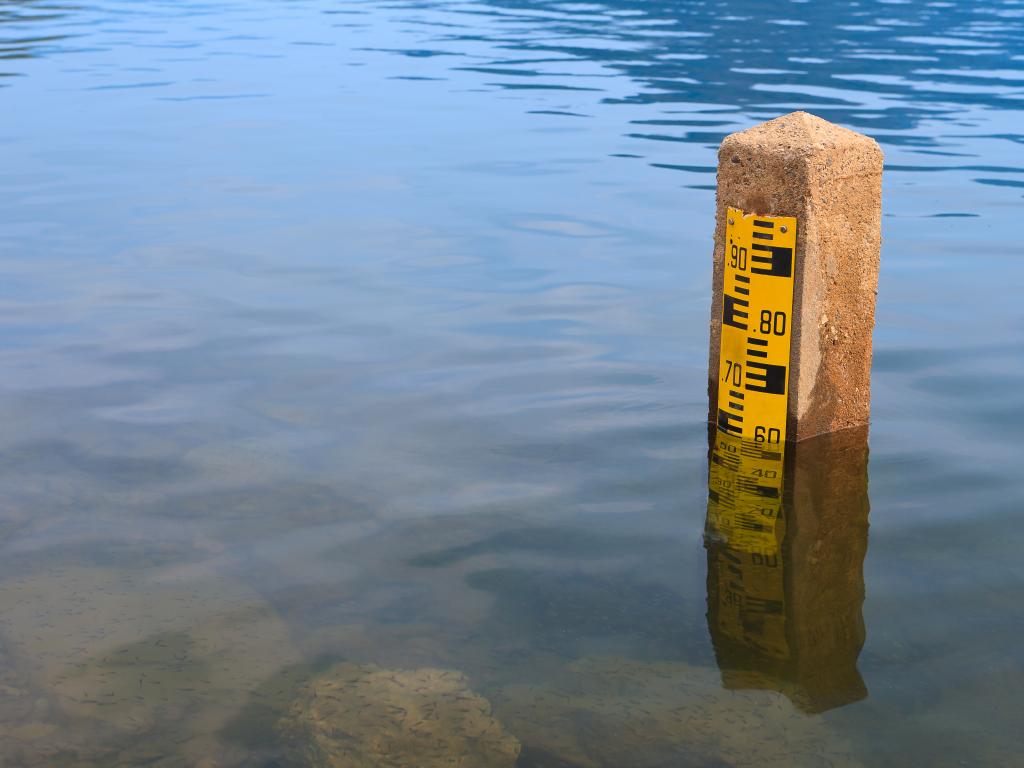
Meteorological and hydrological stations are generally maintained by the National Hydro-meteorological Services in the Lower Mekong region. These networks of observation stations, which measure rainfall and stream heights among other variables, are irregularly distributed -- denser in some areas and more sparse over complex terrain and rural and mountainous areas. This irregular distribution creates an information gap in time and space, ultimately hindering decision-making in long-term planning and development. In addition, river flow data, especially transboundary data, is not widely shared among countries.
Application Purpose
This service provides, via a web portal and OpenGIS® Web Map Service Interface Standard data feeds, high-resolution regular gridded near-real time data based on data from a virtual network of rain gauges and stream gauges widely distributed over the entire Lower Mekong region.
The service:
- leverages a wider range of ground measurements to ensure better calibration of TRMM / GPM and Envisat / Jason-2 data;
- provides more convenient access to TRMM and GPM data products; and
- provides free access to the data streams, and detailed guidance on using these for a variety of applications such as those listed below.
Application Uses
The service provides users with improved, near-real time, virtual rain gauge and virtual stream gauge data sets that can be used for applications such as “now-casting,” hydrological and hydrodynamic modeling, flood forecasting, landslide risk assessment, early warning against floods and landslides, and river basin management. It also provides data for calibrating satellite rainfall estimates.