
Cambodian Youth Learn and Connect Geospatial Pieces
Cambodia’s Science and Engineering Festival Exposition and Workshop (CSEF) is an annual event jointly hosted by the Ministry of Education, Youth and Sports and local non-government organizations along with the U.S. Embassy and USAID Cambodia. This year’s event, in its fifth year, was held from February 21 to 23, 2019, at the National Stadium in Phnom Penh. CSEF aims to promote science, technology, engineering and mathematics (STEM) education among Cambodian youth.
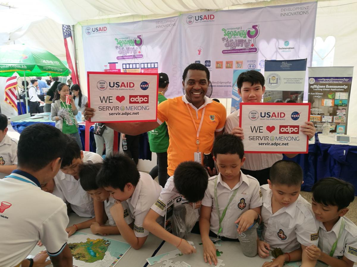
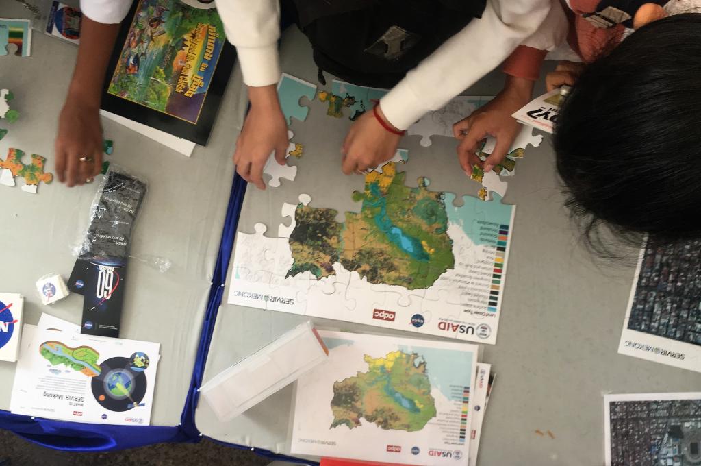
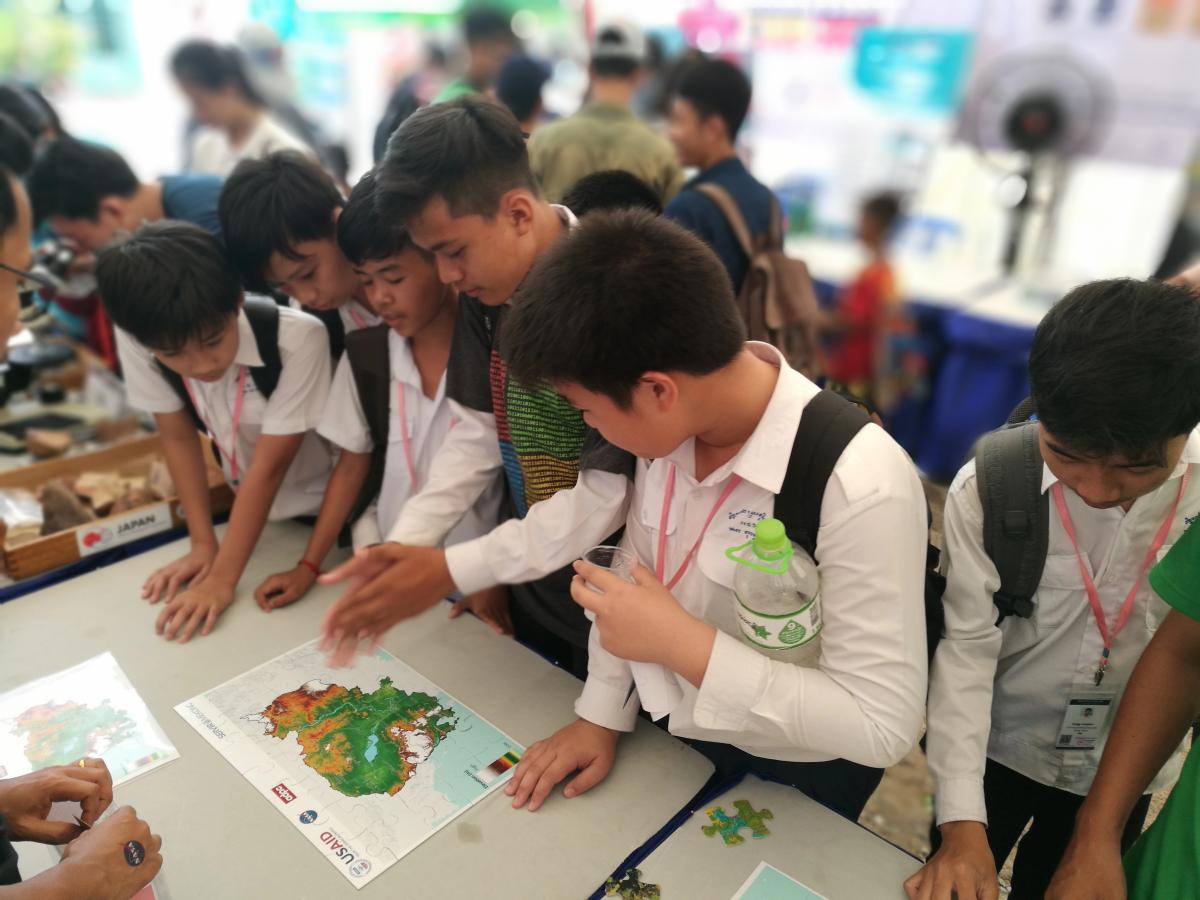
This year, the event attracted over 30,000 students ranging from elementary to college level from across the country and inspired them on various aspects of STEM, including new technologies and potential career paths. For a second year, the SERVIR-Mekong program held an exhibition booth as part of the U.S. Government pavilion to engage students with educational activities involving geospatial information systems. At the booth, students completed jigsaw puzzles of satellite-generated maps of Cambodia created by SERVIR-Mekong’s Regional Land Cover Monitoring System, which enabled them to locate their country’s various land cover types and elevation levels. In addition, they were able to learn how geospatial technologies such as the Google Earth can generate images of various urban and rural locations – even down to their schools and homes.
“The United States is proud to be a sponsor of this festival and the robotics competition, and is a supporter of Cambodia’s efforts to improve science, technology, engineering, and mathematics education. The Festival gives young Cambodians the opportunity to learn about many exciting careers in the STEM field,” said U.S. Embassy Chargé d’Affaires Michael Newbill during the opening ceremony on February 21. He was joined by Cambodia’s Minister of Education, Youth and Sports, Dr. Hang Chuon Naron, and USAID’s Acting Mission Director, Veena Reedy.
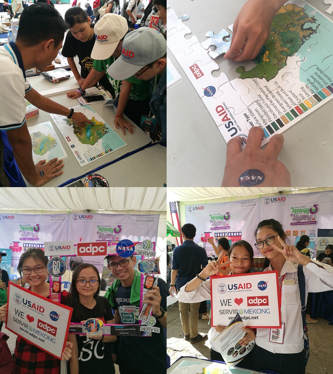
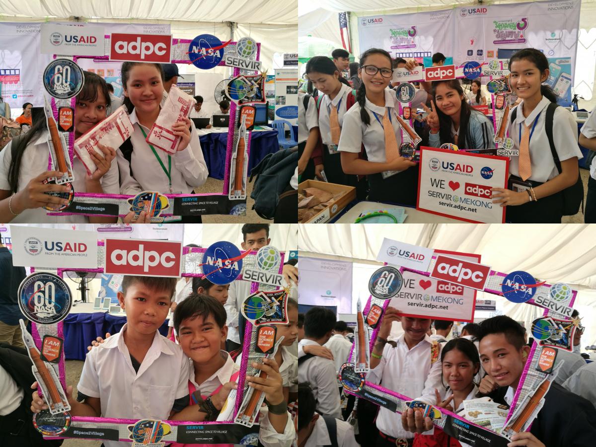
Aside from enjoying the puzzle, visitors who stopped by SERVIR-Mekong’s booth received souvenirs and took pictures with a SERVIR-themed photo frame. They learned about SERVIR-Mekong’s work supporting governments in the region to create climate resilience utilizing geospatial technologies.
Funded by the United States Agency for International Development (USAID) and in partnership with the National Aeronautics and Space Administration (NASA), SERVIR-Mekong harnesses publicly available satellite imagery and technologies to support government and other stakeholders in the Lower Mekong region in addressing development issues such disaster impact and environmental changes. Asian Disaster Preparedness Center (ADPC), an intergovernmental organization dedicated to strengthening disaster resilience in Asia, is the prime implementer of SERVIR-Mekong, and is supported by three other consortium partners: Spatial Informatics Group (SIG), Stockholm Environment Institute (SEI) and Deltares.
Check out the photo slide show here.