
Grantee Profile: Cuong Ho-"Mangrove Identification and Evaluation in Integrated Aquaculture – Forestry Ecosystem."
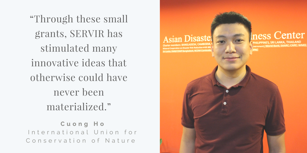
Name: Cuong Ho
Organization: International Union for Conservation of Nature
Grant Title: Mangrove Identification and Evaluation in Integrated Aquaculture –Forestry Ecosystem.
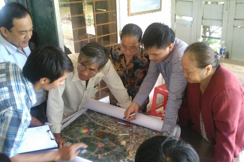
This purpose of this project is to develop a methodology to identify mangroves of varying ages in coastal locations of mixed forest and aquaculture in Vietnam, create a time-lapse series of mangrove cover maps for three provinces (Ca Mau province, Ben Tre province, and Tra Vinh province), compare the mangrove cover time-series maps with the official forest cover maps to identify and analyze discrepancies, and train local government agencies to improve forest management. This includes stages of image analysis, map refinement, and stakeholder engagement.
What inspires you most about working on this project?
What is most inspiring about this project is the innovation and level of dedication from other organizations using remote sensing tools and data to resolve complicated tasks. I have been using GIS for mangrove mapping for years but never imagined that GIS can be used to resolve such a board spectrum of problems, from resource management to eco-social analysis. It makes me think about how we can corporate with others for further use of GIS in current and future IUCN projects.
What has your project achieved in the past year?
The most important achievement for this project was the introduction of a new methodology of mangrove mapping and management for the provincial government. We used different methods for mangrove mapping but the problem remained- how can we get governments to apply it to their work, as this affects the livelihood of thousands if not millions people. Introducing an innovative tool that transparent and easy to understand will make future assessments more reliable.
How has the SERVIR network benefitted you in the past year? What do you see as the potential benefits of continuing this relationship in the future?
SERVIR has helped us implement this project by providing timely guidance. In addition, the SERVIR network still remains as an potential resource that we haven't fully utilized. Following the closing workshop, we now have a better understanding of what other organizations are doing and will get corporate with them on implementing other projects to develop this project further as a result of this small grant. Furthermore, the SERVIR network could be a resources that would allow us to meet peers from other regions. This will allow us to develop more projects and search for new methodologies for creating a sustainable environment and maximize our resources.
Through these small grants, SERVIR has stimulated many innovative ideas that otherwise could have never been materialized. Our project of using GEE in mangrove mapping has been proven an effective measurement of complicated mangrove mapping problem but we still need from SERVIR to develop a complete tool set that can be utilized by local foresters. I also hope that the SERVIR network can become a forum for organizations from different countries to meet and exchange ideas on a regular basis.
How does your project have direct impact to beneficiaries (communities or local government agencies)?
Using Google Earth Engine for mangrove mapping through this project has changed the view of some forest management officials that have previously used un-authorized mapping and image analysis software such as ECONITION or ArcGIS to a free and comparable platform. It provides opportunities for applying GIS technology to mangrove management in down-to-the-ground level of administration, despite the small government forest protection budget that limits the fund for innovative technologies.