
Highlighting the Benefits of Satellite Data for Community-led Conservation in Cambodia’s Prey Lang Extended Landscape
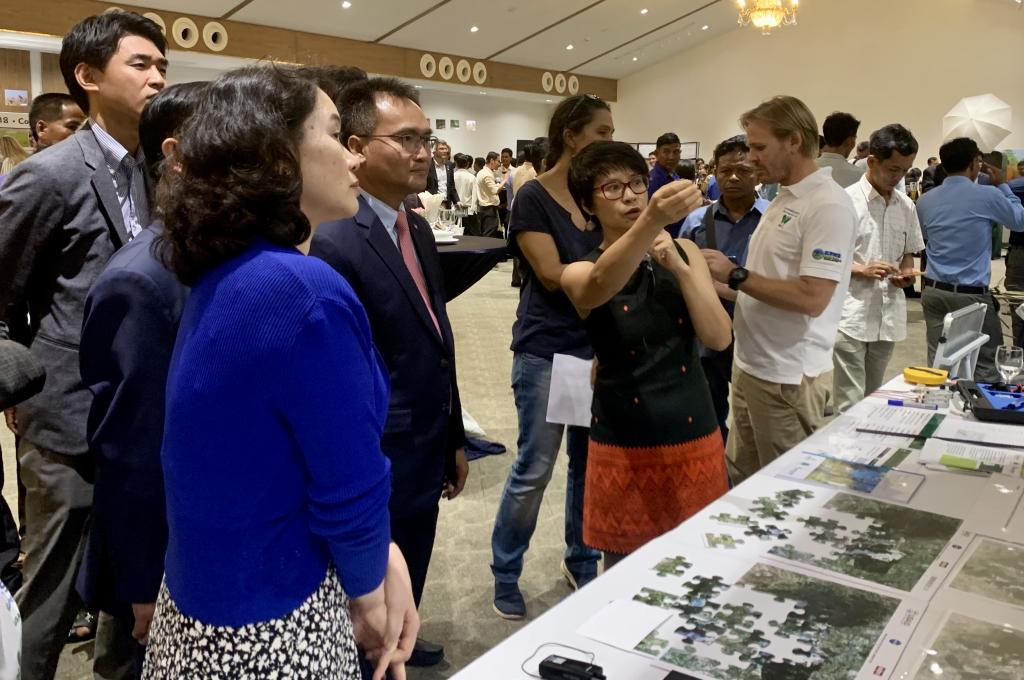
SERVIR Southeast Asia (SERVIR SEA) demonstrated applications of its Cambodia Forest Alert decision support tool for detecting forest disturbances at USAID Greening Prey Lang’s impact celebration event in Phnom Penh on May 24. Nguyen Hanh Quyen, SERVIR SEA’s Ecosystem and Carbon Management theme lead explained how local communities and forest rangers are using satellite-based deforestation alerts to conserve the Prey Lang Extended Landscape. Rain or shine, the decision support tool uses cloud-penetrating Synthetic Aperture Radar (SAR) technology to monitor the Prey Lang Extended Landscape at regular intervals throughout the year.
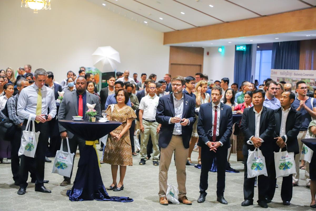
Over 200 representatives from local communities, civil society, private sector, government, and development partners attended the event. This event also provided a wonderful platform to discuss opportunities for scaling the Forest Alert Tool to other protected areas in Cambodia.
Implemented through a partnership between U.S. Agency for International Development (USAID), U.S. National Aeronautics and Space Administration (NASA), and Asian Disaster Preparedness Center (ADPC), SERVIR SEA uses publicly available satellite data to address climate change and sustainable development challenges. SERVIR SEA’s work in Cambodia is supported by USAID/Cambodia.
“Discussions around deforestation in Cambodia tend to focus on the illegal timber trade, which, while an extremely serious problem, is not the greatest cause of forest loss,” according to Matthew Edwardsen, chief of party for USAID’s Greening Prey Lang project. “What we are seeing is widespread illegal forest clearance for agriculture and land speculation.”
Cambodia has grappled with deforestation for many years. According to a 2018 estimate by the Ministry of Environment, the country’s forest cover has dropped from 73.4% to 46.9% since 1965. In addition, a 2020 report by the World Wildlife Fund found that Cambodia represents an active deforestation front whose deforestation rates were among the highest in the world from 2008 to 2018. Deforestation and forest degradation release vast amounts of greenhouse gasses into the atmosphere, lead to biodiversity loss, reduce water quantity and quality, and threaten the livelihoods of indigenous communities.
In response to these challenges, SERVIR SEA designed the Cambodia Forest Alert decision support tool. Integrated in apps currently used by local communities and forest rangers the information cuts through cloud cover and captures the entire landscape. Click here to learn more about how the Forest Alert decision support tool is being used in the Prey Lang Extended Landscape.
SERVIR SEA continues to support forest conservation in Cambodia. ADPC will build upon these successes and develop geospatial applications to provide actionable intelligence to decision makers, local farmers, and the public for enhanced climate actions using satellite data over the next five years.