
Land Cover Monitoring for Resilient Development

In Vietnam, rapid urbanization has put increased pressure on land and water resource management, with implications for communities and the ecosystems upon which they rely. Cambodia has seen one of the most rapid declines in forest cover of any country since 2000. Since the end of military rule, Myanmar has seen swift transformations and development opportunities, creating challenges for land use and resource management. Lao PDR has experienced forest cover reductions due to shifting cultivation practices, commercial logging, and agriculture. In Thailand and across the region, communities live in flood- and landslide-prone areas that put people and development gains at risk.
The common thread in each of these cases is the land use choices of countries in the Lower Mekong Region and their implications for sustainable development. The capacity to monitor and understand changes in land cover helps countries identify and understand risk in order to make informed decisions on a range of issues, from land use planning, water resources management, carbon accounting, disaster risk reduction, and climate change action.
However, accessing reliable land cover information in the Lower Mekong Region on a consistent basis is difficult. This results in limited capacity for governments to devise policies that are best able to balance productivity and growth with sustainable development practices that benefit communities.
The SERVIR-Mekong initiative, funded by the United States Agency for International Development in partnership with the National Aeronautics and Space Administration and implemented by the Asian Disaster Preparedness Center, aims to support countries in the Lower Mekong Region in accessing information on land cover to make better development decisions. SERVIR-Mekong, in partnership with SilvaCarbon and the United States Forest Service, is building the Regional Land Cover Monitoring System (RLCMS), which uses the power of satellite technology to provide a cost-effective solution to land cover monitoring needs. This system will provide decision makers the ability to access consistent and accurate imagery on land cover changes in their respective countries and across the region. The result will be better planning and decision making for policy issues related to climate change action, disaster risk reduction, and sustainable development.
Phien Sayon, Technical Advisor with the Wildlife Conservation Society in Cambodia says “there are 48 protected areas [in Cambodia] managed by the Ministry of Environment which covers about 6 million hectares of land. The Regional Land Cover Monitoring System is an important tool for deforestation and land encroachment monitoring as it is very powerful, fast, and free”.
According to Kel Markert, Regional Associate with NASA-SERVIR, "the RLCMS is an important innovation because it changes how land cover maps are created from satellite remote sensing. The RLCMS method is both flexible and scalable, using biophysical definitions (e.g. forest canopy cover, tree height, percent impervious area) that are directly mappable to create land cover assessments. The biophysical information is combined with user defined definitions of those land cover types making it easily flexible for different agencies and applications, which is difficult to achieve with traditional land cover mapping methods.”
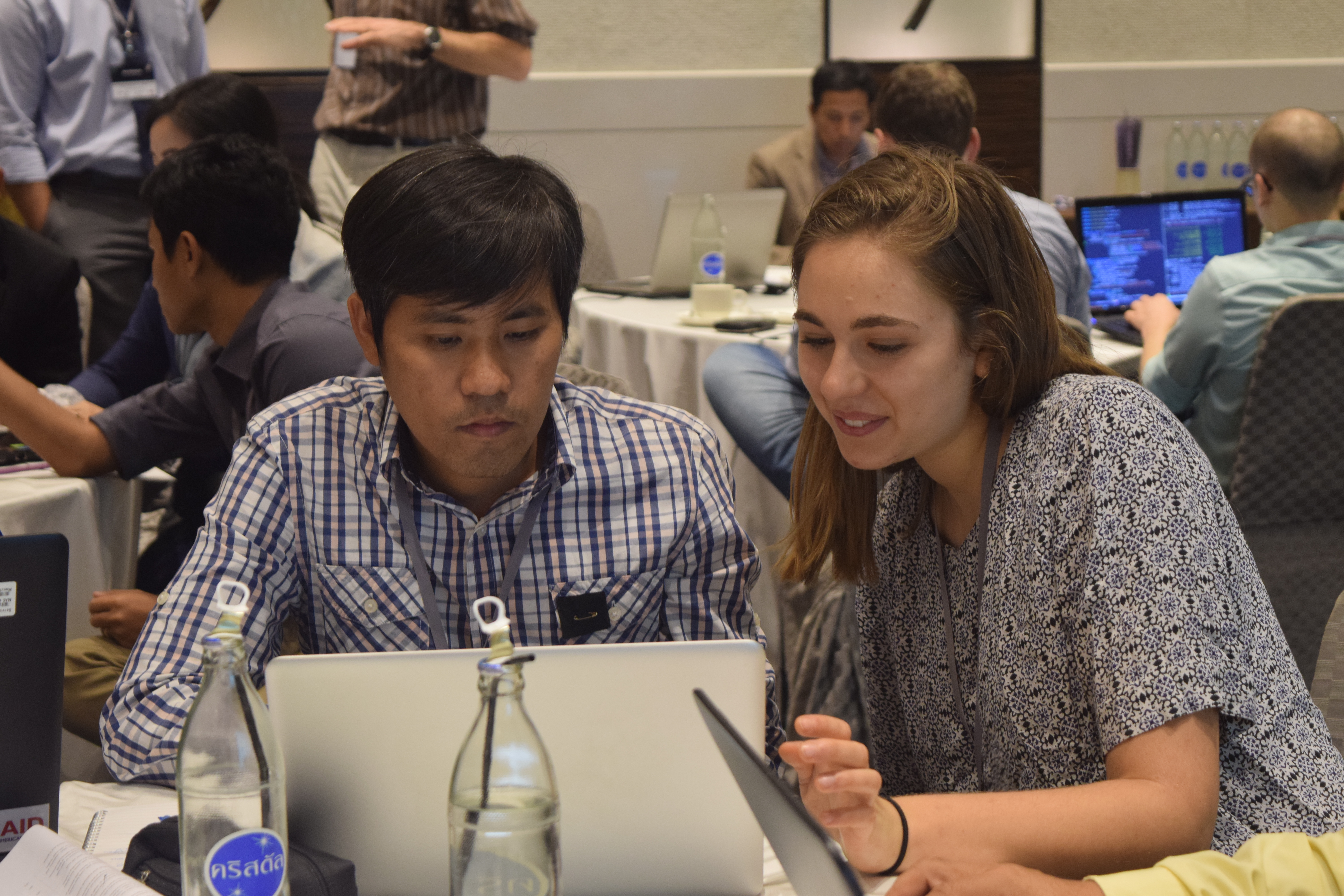
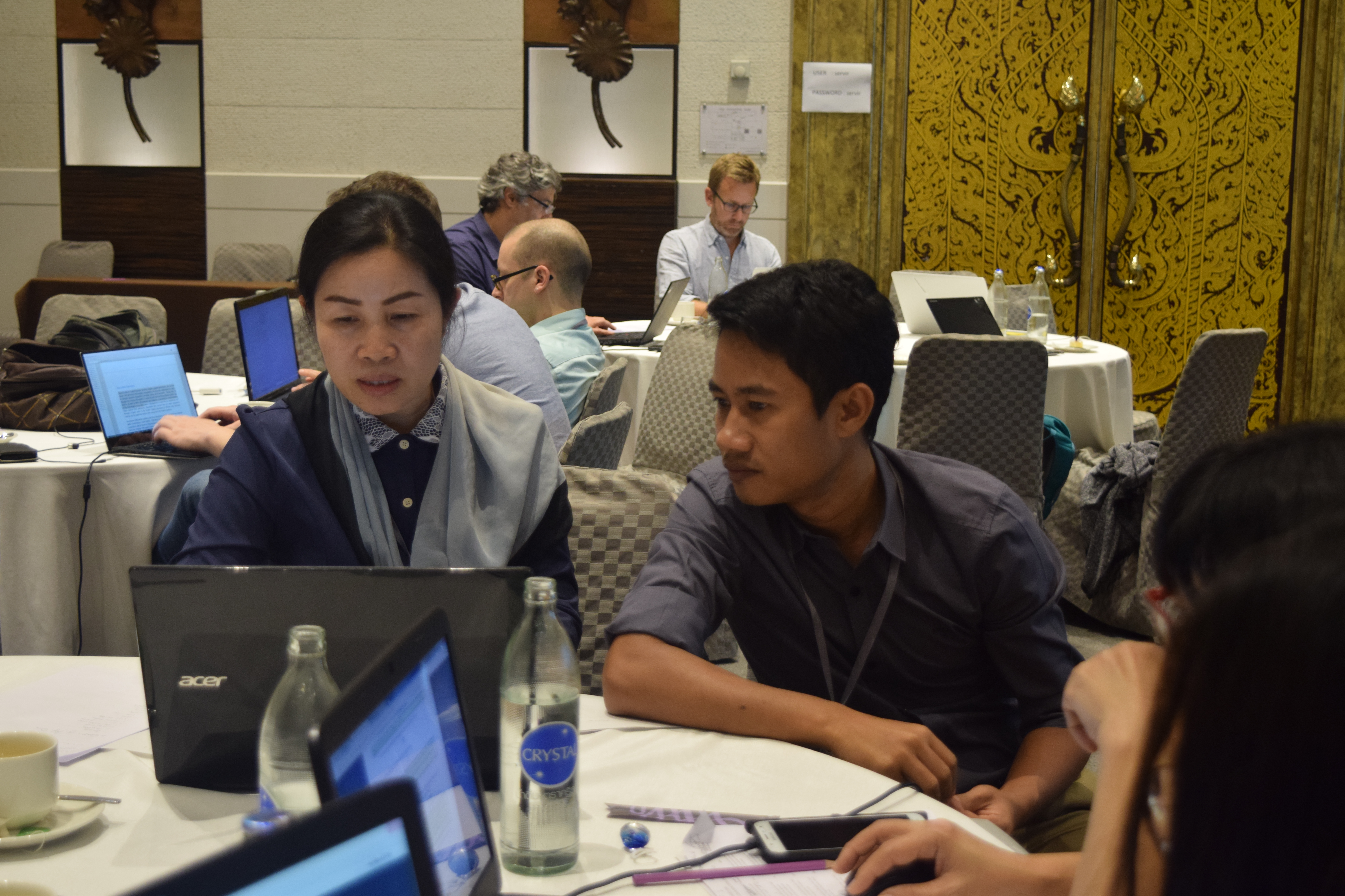
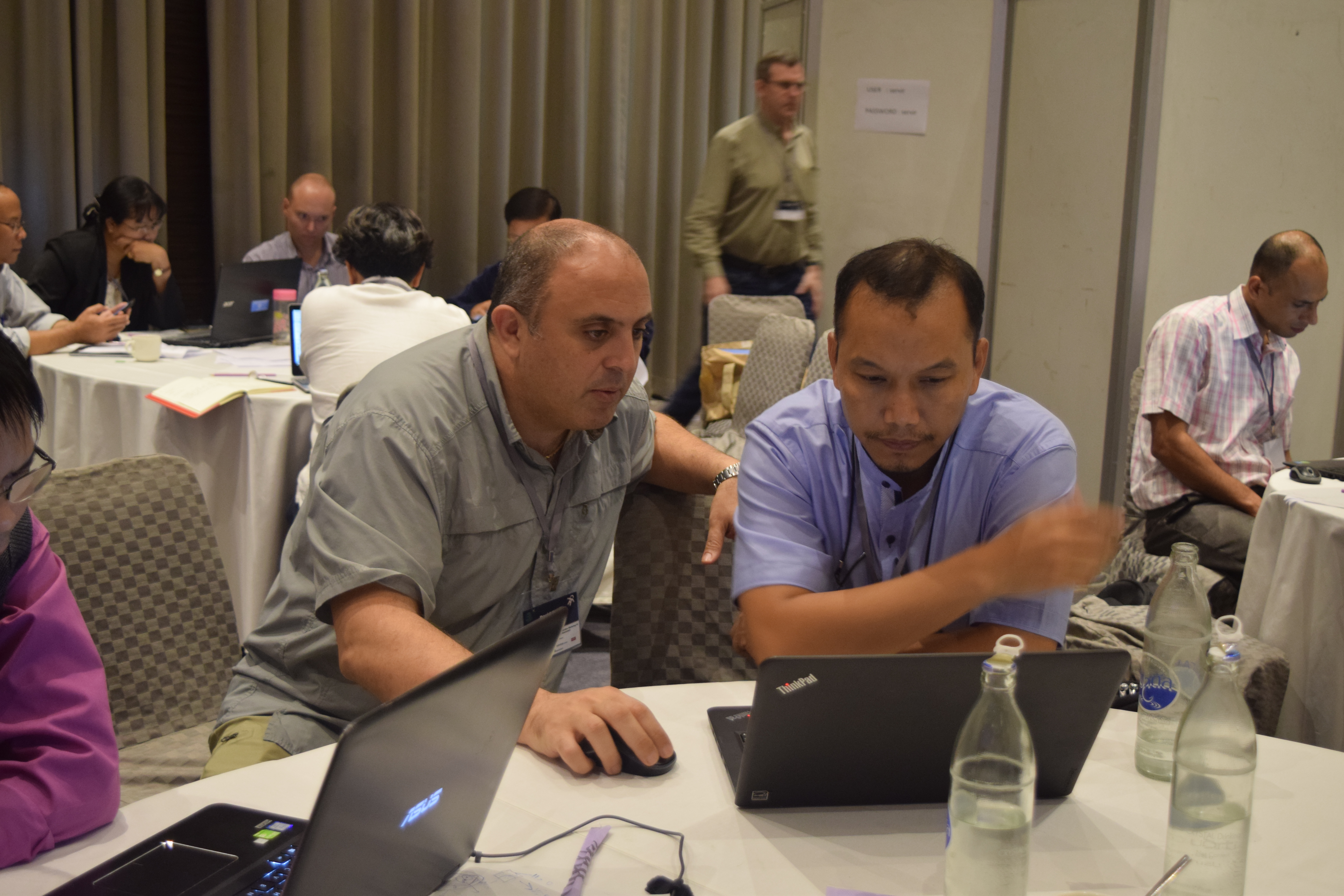
The RLCMS is not being built in a far-off laboratory. Through ongoing consultations, SERVIR-Mekong has been working with users in the region to customize the system to meet their decision-making needs. This collaboration continued January 17-20, 2016 in Bangkok, Thailand where government and civil society members across the region gathered to continue building the comprehensive system. While the focus of the three-day event was on finalizing the system with the Land Cover Assemblage and Assurance Assessment working groups, it was also an opportunity to understand how the system could best be optimized for the region. Myat Su Mon, Assistance Director in the Remote Sensing and Geographic Information Systems Section of the Planning and Statistics Division in the Forest Department in the Ministry of Natural Resources and Environmental Conservation (Myanmar) said “This collaboration is a good opportunity for the region to discuss and consult among the relevant officials to learn and utilize this [RLCMS] system.”
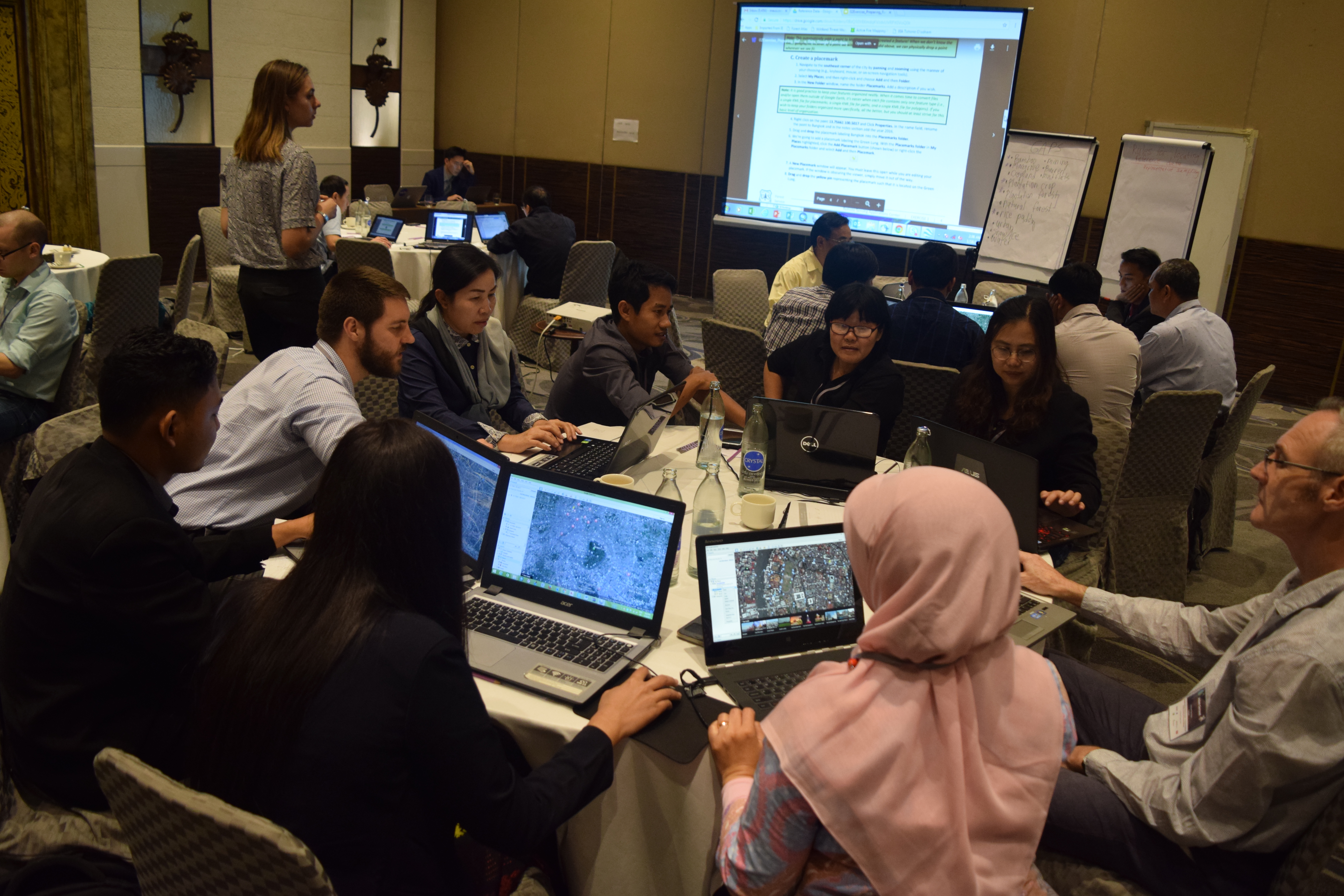
While SERVIR-Mekong is focused on building the Regional Land Cover Monitoring System for users in the Lower Mekong Region, the technology and approach has broader applications. During the training a clear request came from users for continued training on the use of Google Earth Engine (GEE), which is used to run the RLCMS. For the past six months, SERVIR-Mekong has been providing GEE training for partners across the region; it is clear that this process will need to continue to ensure users are confident in using the RLCMS for their decision making. Kel Market states “the way the system is built, there are larger implications outside of the Mekong region as other land cover typologies and definitions for those typologies can be created. In addition, the system is being built on the Google Earth Engine platform which allows for the methods to be directly scalable to other regions allowing for quick and easy access to data processing and analysis."
It is expected the RLCMS will be ready for launch in late 2017. Continued trainings and experience sharing will ensure users are able to fully utilize the system to improve decision making that will affect millions of people across the Lower Mekong Region.