SERVIR-Mekong Presents Land Cover, Drought, and Flood Services in the Lower Mekong at AGU Centennial
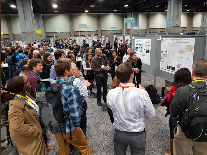
From December 10 to 14, the 51st American Geophysical Union (AGU) event marked the AGU’s centennial year as an international organization with a membership of 144 countries and over 62,000 members from the various Earth Science disciplines. With over 28,500 top scientists and experts from across the world, it was the best- attended event in AGU history.
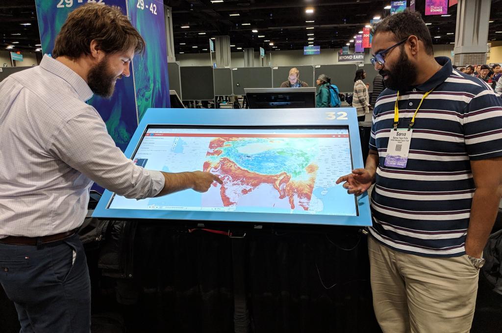
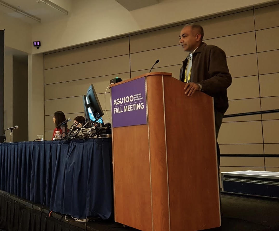
SERVIR-Mekong’s services featured at various sessions and in display during poster sessions throughout the event. Professor Dr. Farrukh Chishtie, SERVIR-Mekong’s Science and Data Lead presented during the session: “Connecting Earth Sciences and Risk Financing and Transfer” and discussed how the delivery of services in SERVIR-Mekong can also become possible in the risk financing sector. In addition, he presented the SERVIR-Mekong’s innovative approach to application of cloud computing and artificial intelligence to address agricultural and food security issues in the Lower Mekong region. Dr. Chishtie also served as a panelist in the town hall meeting “SERVIR’s Approach to Sustainable Services in the Use of Earth Observations in Decision-Making,” where he, along with other SERVIR technical experts, presented on the various practical aspects of service design and monitoring, learning and evaluation components of service planning.
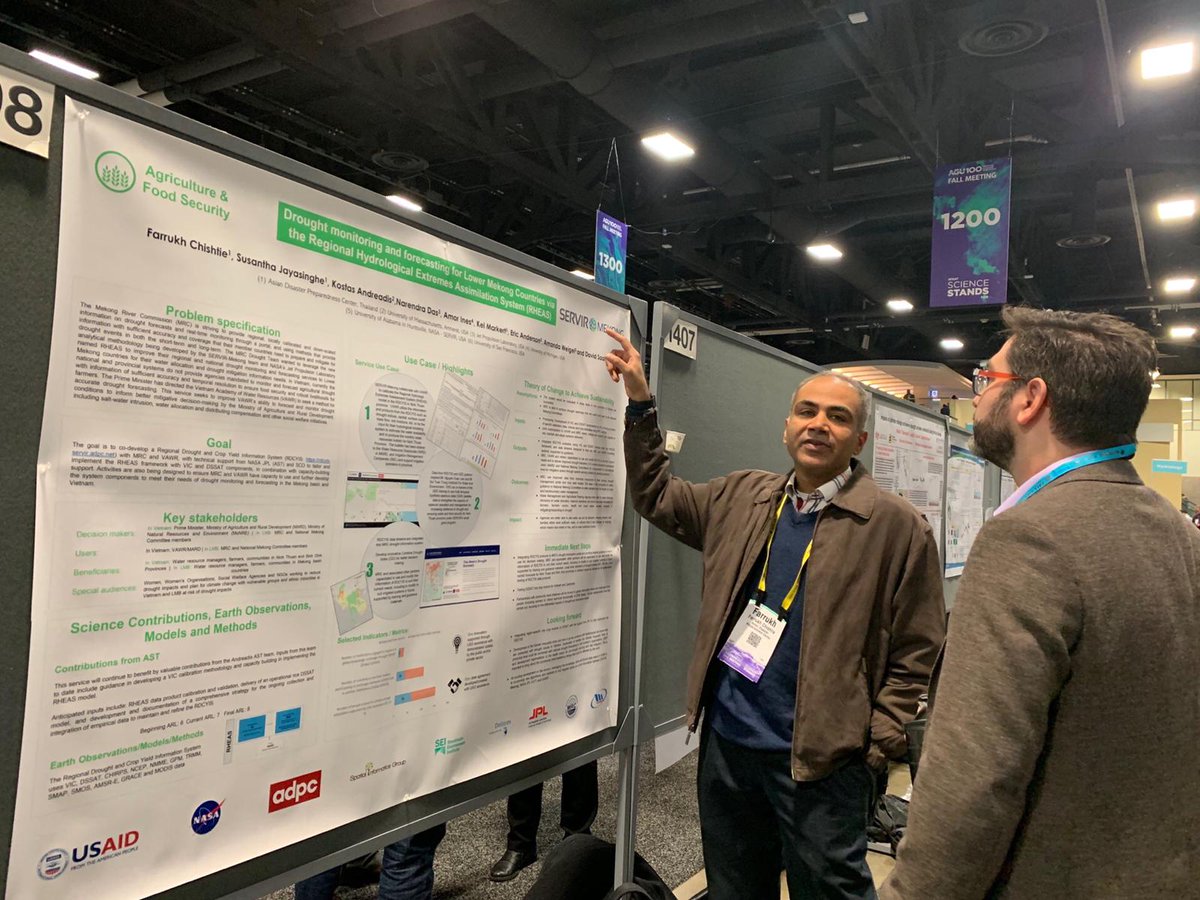
SERVIR-Mekong’s Regional Land Cover Monitoring System and its applications in the carbon financing and related sectors were also presented during a session on the forest mapping and rural development. In a poster session Dr. Chishtie also featured the “Droughts and Water Challenges in Changing Environments” where the services provided by the Regional Drought and Crop Yield Information System to the Mekong River Commission and Vietnam agencies were shared with participants.
Dr. Senaka Basnayake, Weather and Climate Theme Lead of SERVIR-Mekong and Director of Climate Resilience Department of Asian Disaster Preparedness Center presented results of the study on calibration and validation of hydrological and hydrodynamic models with satellite estimated rainfall data from sensors including the Global Precipitation Mission (GPM) and river altimetry from satellites such as Jason 2, which are provided through the Virtual Rain and Stream Gauge Information Service of SERVIR-Mekong. The results provide an insight into the performance of satellite-derived rainfall data compared with upstream areas to improve flood modeling, which has improved flood early warning in Myanmar and other Lower Mekong countries.
Overall, participation at the AGU was not only an opportunity for SERVIR scientists to share their findings to the wider communities of practice, but also to generate new ideas for improving existing services. Such exchanges are crucial as they allow practitioners to learn and stay engaged with the latest advancements in their respective fields, while disseminating the successes and lessons learned from the SERVIR program to enhance knowledge on the application of space technology for climate resilience to the rest of the world.