
SERVIR SEA and USAID/Cambodia Increase the Use of Satellite Data for Improved Climate Actions
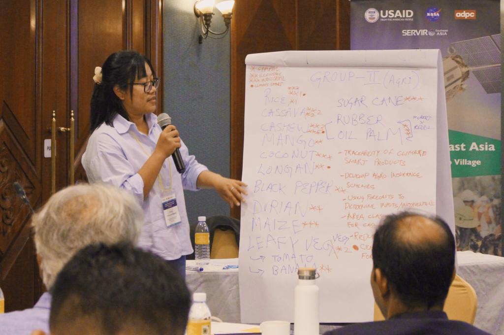
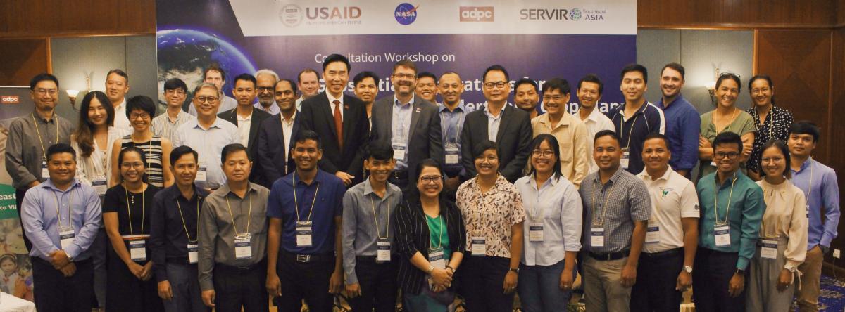
SERVIR Southeast Asia (SERVIR SEA) organized a full-day workshop in Phnom Penh, Cambodia on May 22 to support increased use of satellite data for enhanced climate actions by local partners.
The purpose of this workshop was to listen, understand, and support the unique requirements of stakeholders in Cambodia. It also provided an opportunity for SERVIR SEA to present its work plan to stakeholders for feedback and introduce its geospatial decision support tools and data products that have been developed for the country.
Implemented through a partnership between U.S. Agency for International Development (USAID), U.S. National Aeronautics and Space Administration (NASA), and Asian Disaster Preparedness Center (ADPC), SERVIR SEA uses publicly available satellite data to address climate change and sustainable development challenges. SERVIR SEA’s work in Cambodia is supported by USAID/Cambodia.
“USAID/Cambodia will continue to support SERVIR SEA to scale up the Cambodia Forest Alerts tool and Biophysical Monitoring and Evaluation Dashboard nationwide. This increased capability will support forest monitoring, sustainable agriculture, and food security, to reduce greenhouse gas emissions throughout Cambodia,” said Mark Doyle, Deputy Director of Sustainable Economic Growth Office at USAID/Cambodia.
Over the next five years, ADPC will develop geospatial applications to provide actionable intelligence to decision makers, local farmers, and the public for enhanced climate actions using satellite data.
Satellite data from SERVIR SEA can directly benefit local farmers in Cambodia, said Ali Tareque Parvez, Social Finance Fellow at the International Labour Organization. “Enlisted farmers can receive free of cost weather alerts and crop advisories for their insured crops via SMS in their local language using forecasted data from SERVIR SEA.” Farmers can use this information to improve crop management practices, reduce wastage, and increase earnings.
Gender equality and social inclusion play a vital role in confronting environmental challenges were also discussed at the workshop. Participants agreed to promote and support a more gender diverse and socially inclusive forum in the future and encourage increased participation of women in STEM education with a focus on geospatial technologies.
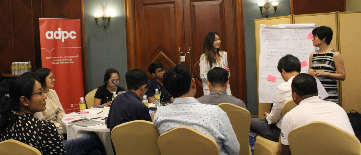
The workshop included a capacity assessment component to determine preferences among the thirty-eight workshop attendees. SERVIR SEA will conduct a more detailed assessment of knowledge gaps and training needs of key stakeholders before further development and implementation of customized activities, strengthening a localized approach to development that builds knowledge and climate resilience among Cambodian citizens and institutions.
Deforestation remains a significant challenge in Cambodia. According to a 2018 estimate by the Ministry of Environment, the country’s forest cover decreased from 73.4% to 46.9% since 1965. In addition, a 2020 report by the World Wildlife Fund found that Cambodian deforestation rates ranked among the highest in the world from 2008 to 2018. Deforestation and forest degradation release vast amounts of greenhouse gasses into the atmosphere, lead to biodiversity loss, reduce water quantity and quality, and threaten the livelihoods of local indigenous communities. In response to these challenges, SERVIR SEA designed the Cambodia Forest Alert decision support tool.
SERVIR SEA’s satellite data now provides the basis for deforestation alerts sent out to local communities and forest rangers in one of Cambodia’s largest remaining forests. Integrated in apps they already use, the information cuts through cloud cover and captures the entire landscape. Click here to learn more about how the Cambodia Forest Alert Tool supports local communities and forest rangers to conserve the Prey Lang Extended Landscape.