
Training Myanmar’s next generation of river engineers
The Ayeyarwady River in Myanmar is one of the largest free-flowing rivers in the region and serves as the fulcrum around which Myanmar society and economy revolves. The river performs multiple functions: it provides water for agriculture, fish as the main source of protein, sand for infrastructure development, and is also a major transportation route.
The Ayeyarwady River is heavily influenced by the monsoonal rainfall, which results in an increase in water levels. High flows in the monsoon season creates natural changes in river morphology; the water levels in the river swell, transporting large amounts of water and sediment that cause considerable erosion.
Government organizations in Myanmar depend on a bottom-up approach to monitor these changes and assess the impacts. The Directorate of Water Resources and Improvement of River Systems has the mandate to protect against riverbank erosion. The Directorate initiates survey campaigns in November every year for the eroded river sections after high-water levels in the river subside. Information on eroded areas is communicated either by the communities at risk or by local government or Directorate officials; where new land is created from river deposition, the land is reallocated to the adjacent villagers for further agricultural use. Collating such information after every monsoon season along 2000 kilometers of the river is both time and resource consuming. Considering the geographic scale of the problem, there is a need to prioritize locations to more efficiently plan and respond to erosion risk.
The Directorate requested SERVIR-Mekong to support their bottom-up monitoring process with a large scale remote sensing-based assessment to provide a holistic overview of the erosion and deposition along the Ayeyarwady River after every monsoon season.
SERVIR-Mekong developed the “Dancing Rivers” service in response to the request and existing need for a river morphological monitoring system. This service uses freely available Landsat satellite data to develop an annual river morphology change map comparing pre-monsoon and post-monsoon scenarios. The Dancing Rivers service is designed so that the Directorate can generate detailed change maps of erosion and deposition locations along the river before initiating the detailed survey for riverbank protection.
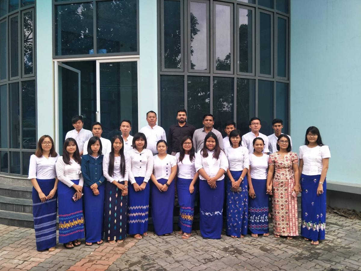
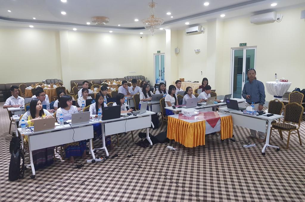
To support the Directorate’s use of the Dancing Rivers service, SERVIR-Mekong organized two capacity workshops (August 28 to 30 and September 26 to 27, 2019) focused on using Google Earth Engine to analyze river morphological change. The Directorate integrated this training program into a larger two-month long capacity building program for their junior engineers, which used the Dancing Rivers system to monitor seasonal river morphological changes along the Ayeyarwady River.
SERVIR-Mekong, a partnership between the United States Agency for International Development and the National Aeronautics and Space Administration, supports Lower Mekong countries to use publicly available satellite imagery and geospatial technologies to manage natural resources and prepare for climate-related events.
This article was written by Karthi Matheswaran, SERVIR-Mekong Hydrologist based at the Stockholm Environment Institute.