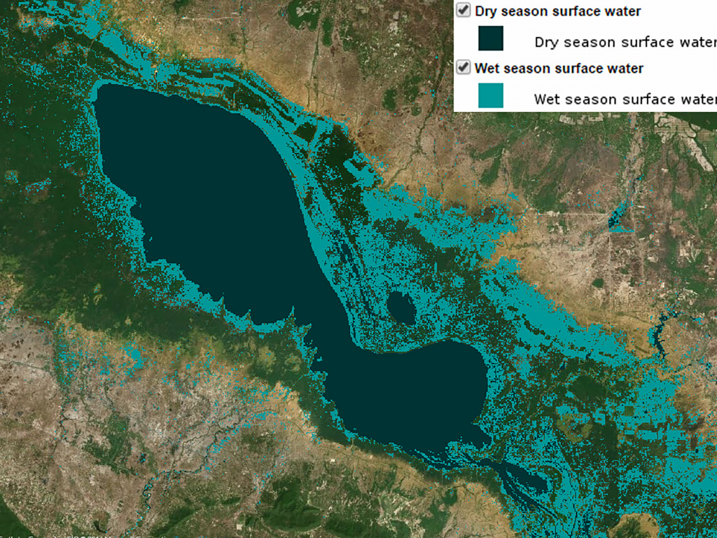
Estimated Dry and Wet Season Surface Water Distribution
Surface water conditions are a result of the complex interactions of numerous interacting processes including rainfall, snowmelt, land cover, soil structure and conditions, and human modifications to the natural landscape. An understanding of surface water patterns over time provides valuable insight into flood risk, ecological processes related to food security, the impacts of dams, and land cover change.

To better understand surface water conditions, SERVIR-Mekong and partners have developed a tool that leverages the computing power and vast archive of Landsat satellite imagery available on the Google Earth Engine cloud computing platform to uncover patterns of surface water distribution through time. These datasets are one output of that tool that has value for a wide range of end users. Custom outputs based on specific area and timespan specifications will be available in the coming months when this free, interactive tool is launched.
About the Data
These surface water distribution data products cover the entire Lower Mekong Basin and additional areas of landsat scenes needed to cover that area. The data are in raster format with individual pixels measuring 30 x 30 meters. Production of estimated permanent and wet season surface water extent began by using reflectance values to assign pixels to water, cloud, and other non-water classes. Additional topographic and hydrological rules were then applied to minimize classification errors. Thresholds were then applied to the resulting composite multi-temporal data to delineate areas of permanent water vs. an expanded area representing surface water distribution at the height of the wet season (~October-December). Further details of processing procedures are available in the detailed metadata for this product. These datasets were produced by a beta version of SERVIR-Mekong’s Surface Water Mapping Tool which runs on the Google Earth Engine platform.


