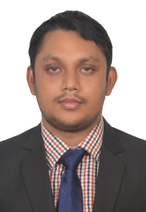
Kamal Hosen
Kamal works as Geospatial Web Developer at SERVIR SEA. He supports SERVIR SEA in designing UI/UX, developing geospatial decision-making tools, deploying geo apps, server configurations, error handling, and installing and maintaining necessary software.
He has prior knowledge of Geographic Information System (GIS), remote sensing, full-stack WebGIS application development, and urban planning. He holds his Bachelor of Urban Planning degree from Khulna University, Bangladesh. He got a National Science and Technology Research Fellowship for contributing research in the master's program at Khulna University from the Ministry of Science and Technology, Bangladesh. He developed WebGIS application to enhance urban services' efficiency, a part of his master's degree research. Before joining the SERVIR SEA project, he worked as a GIS Assistant at ADPC. He supported geospatial data management, geo-statistical analysis, technical report writing, data visualization, and data interpretation for an ongoing urban planning project in the Rajshahi city in Bangladesh to make the city disaster risk-informed.
His enthusiasm is developing AI-powered decision making tools integrating GIS, remote sensing, machine learning algorithm, and web technologies to support the disaster risk fighters. He has gained efficiency in python programming, Django frameworks, PostGIS, HTML, CSS, JavaScript, JQuery, GeoServer, ArcGIS, QGIS, and Google Earth Engine applications.
Email: kamal.hosen@adpc.net


