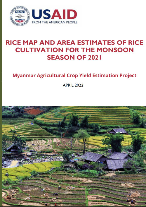
This study focuses on monsoon rice cultivation in Myanmar across the nine most important rice producing regions including Sagaing, Bago, Magway, Mandalay, Yangon, Ayeyarwady region, and Mon, Rakhine, and Shan State. It aims to estimate the area used for monsoon rice cultivation in 2021, using satellite-based remote sensing data, for supporting country-wide crop production estimates for food security planning and policy-making.
Developed by the Asian Disaster Preparedness Center (ADPC) and Spatial Informatics Group (SIG), this study was funded by the United States Agency for International Development (USAID) through the USAID-funded Transparency and Inclusive Growth Activity (TIGA) project, implemented by Nathan Associates.


