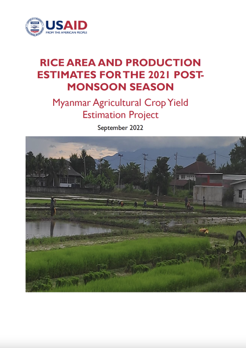
The study analyzes rice cultivation in Myanmar for the 2021 post-monsoon season, covering eight of the country's most significant rice-producing regions. The research provides a comprehensive analysis of vegetation and climate conditions in these areas and delivers accurate area and production estimates. The report draws on satellite-based remote sensing data to determine rice area including any uncertainties. This information is invaluable for the development of country-wide crop production estimates, which play a crucial role in ensuring food security and shaping future policy. The eight regions studied are Sagaing, Bago, Magway, Mandalay, Yangon, Ayeyarwady, Mon, and Shan State.
Developed by the Asian Disaster Preparedness Center (ADPC) and Spatial Informatics Group (SIG), this study was funded by the United States Agency for International Development (USAID) through the USAID-funded Transparency and Inclusive Growth Activity (TIGA) project, implemented by Nathan Associates.


