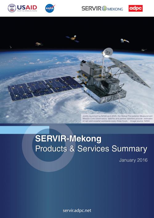
SERVIR-Mekong is a USAID-NASA partnership program designed to improve environmental management and resilience to climate change in the Lower Mekong Region through the increased application of geospatial data and technologies to policy formulation, planning, and other decision making processes.
SERVIR-Mekong is one of four SERVIR hubs in operation across the developing world. Each hub strengthens a locally-based and regionally-focused institution to serve as a sustainable regional service provider of data, analytics, training and best practices for improved decision-making.
SERVIR-Mekong is implemented by the Asian Disaster Preparedness Center (ADPC), a regional non governmental organization working closely with governments in Asia to build resilience against natural hazards. The initial five year phase of SERVIR-Mekong is supported by consortium partners Spatial Informatics Group (SIG), Stockholm Environment Institute (SEI), and Deltares.
SERVIR products and services include the following:
- Decision support tools (such as online mapping portals)
- Custom data products.
- Information services (such as automatically updated precipitation data)
- Knowledge products.
- Capacity building (such as training events, knowledge exchanges


