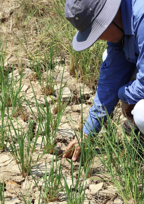
Credit: Leo Sebastian/CCAFS SEA
This fact sheet and infographic explains how SERVIR-Mekong's geospatial tool developed in collaboration with Vietnam’s Ministry of Agriculture and Rural Development (MARD) enables agencies under MARD to prepare for and respond to droughts.


