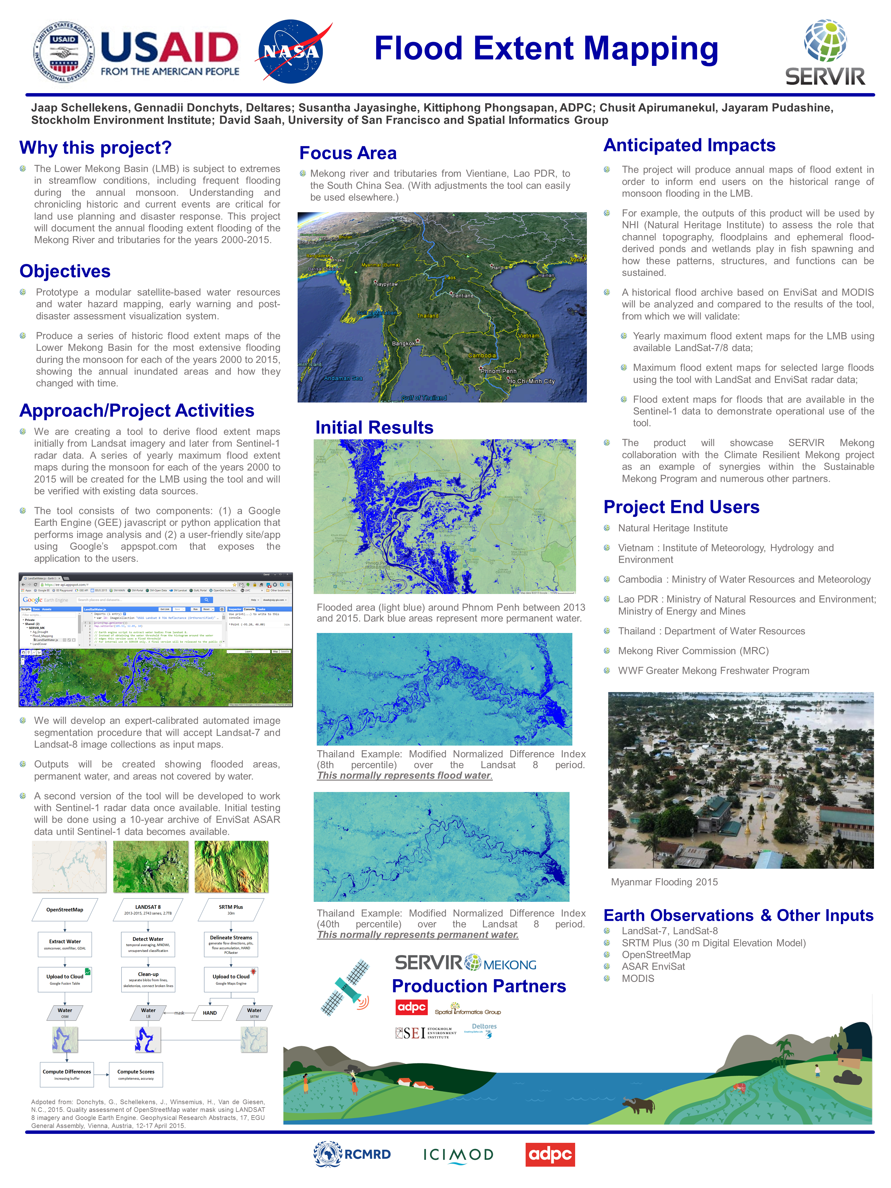
Why this Project?
The Lower Mekong Basin is subject to extremes in streamflow conditions, including frequent flooding during the annual monsoon. Understanding and chronicling historic and current events are critical for land use planning and disaster response. This project will document the annual flooding extent flooding of the Mekong River and tributaries for the years 2000-2015.