Shedding new light on land subsidence and sea level rise and facilitating flood early warning
Satellite-borne RADAR altimeters emit pulses of electromagnetic energy and analyzes the time it takes a pulse to bounce off of a target and return to the device. Given that all electromagnetic energy travels at the same speed (“the speed of light” or about 3.0 * 108 meters per second), an accurate measure of the signal return time combined with information about a central reference (such as the Earth’s center) provides an estimate of the height or elevation of a surface. A key advantage of RADAR telemetry (compared to, for example, Laser-based approaches) is that RADAR easily travels through clouds--making measurements more dependable in the many cloud-prone regions in the Lower Mekong Region.

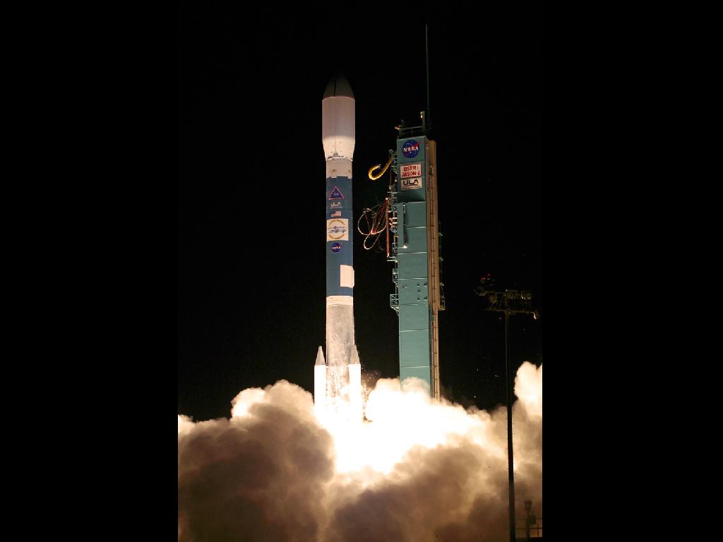
The NASA-French space agency Ocean Surface Topography Mission/Jason-2 satellite launched aboard a Delta II rocket from Space Launch Complex 2 at Vandenberg Air Force Base, Calif., at 12:46 a.m. PDT.
Photo Credit: Carleton Bailie/United Launch Alliance
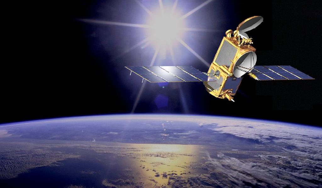
There area a number of satellite-borne altimetry devices in orbit including the Altika device carried by the SARAL satellite of the Indian Space Research Organisation (ISRO) and Space Agency of France (CNES) and the Poseidon-3 radar altimeter aboard the multi-national Jason-2 satellite mission of NASA and CNES. Both of these satellites follow low earth orbits tracing the same path over the surface of the earth as the earth rotates below them (with a return period of approximately 2 hours). Information from these missions provides data for a diverse range of applications from sea level rise to land subsidence to stream height data that can be used in flood early warning applications.
SERVIR-Mekong and RADAR Altimetry
All Lower Mekong Region countries would like to expand their network of stream height gauges that provide critical information for managing water resources, forecasting floods, or signaling when flows in rivers drop below thresholds needed to sustain the communities and ecological processes of a given river system. However, current networks of field stream gauges are sparse and for the most part, insufficiently maintained. As part of a Virtual Rain and Stream Gauge Information Service, SERVIR-Mekong will leverage RADAR altimetry measurements from the Jason-2 satellite to provide estimates of stream height at selected locations. Since experience has shown that stream crossings of less than 1000 meters yield poor water height estimates, the set of locations are all of the crossings that measure more than 1000 meters in width. The approximately 80 locations for which stream height data will be estimated will provide near real-time information (every 2 hours) on river heights that can serve as inputs into flood and water resource management applications.
With an increased pool of accurate and consistent data on river levels in the region, government agencies and other partners in the Lower Mekong Region will be in better position to plan and manage water-related risks and resources.
Links for additional information:
- RADAR Altimetry: http://www.altimetry.info/
- Altika: https://cnes.fr/en
- Jason-2: http://www.nasa.gov/mission_pages/ostm/main/index.html#.V05zFfl97IU


