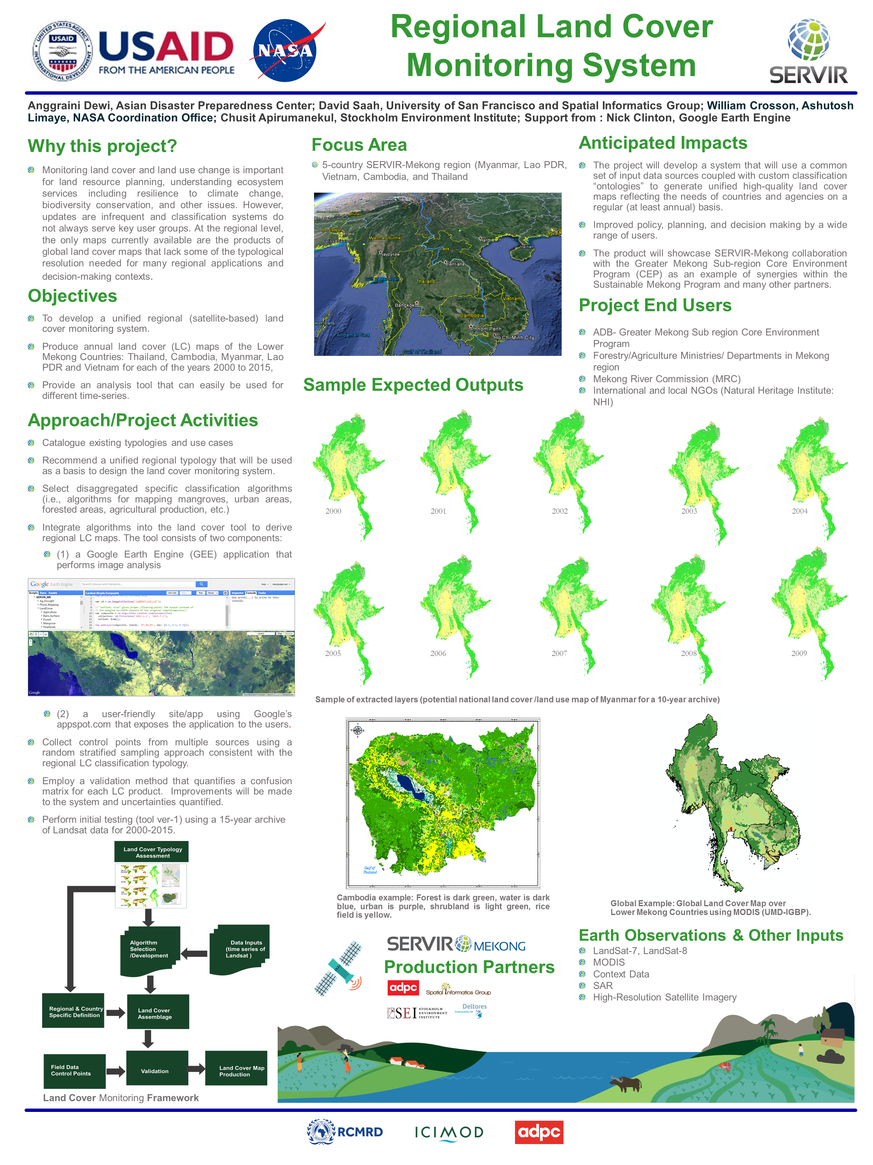
Monitoring land cover and land use change is important for land resource mapping, understanding ecosystem services including resilience to climate change, biodiversity conservation and other issues. However, updates are infrequent and classification systems do not always serve key user groups. At the regional level, the only maps currently available are the products of global land cover maps that lack some of the typological resolution needed for many regional applications and decision-making contexts.


