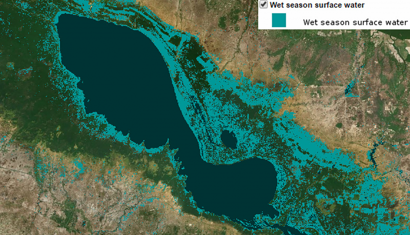
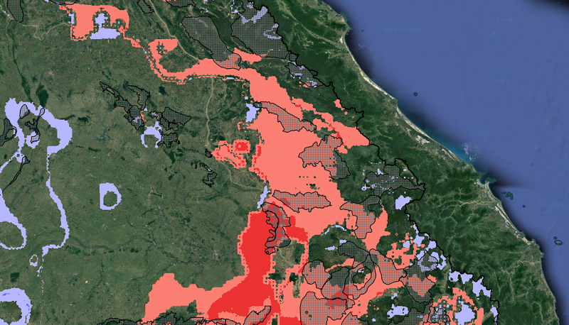
SERVIR SEA works with partners to create and/or share geospatial datasets that meet specific user needs.
In many cases, SERVIR SEA works with end users to create original datasets for use under the most open form of user license; in other cases, useful datasets are shared in accordance with their original licensing. Additionally, SERVIR SEA serves as the repository for spatial data produced by projects funded by USAID’s Regional Development Mission for Asia. These datasets can be found at the dedicated SERVIR-SEA geospatial dataset repository along with complete metadata records including licensing and usage information. The datasets and metadata records can be searched, viewed online, and downloaded in various formats.
SERVIR SEA will also feature selected geospatial datasets and resources here on the main SERVIR SEA Web site. Featured datasets will included additional background material, resources, links, and general interest topics including methods used to collect data, as well as novel applications and case studies.