
Cambodian NGOs use maps to address gender challenges
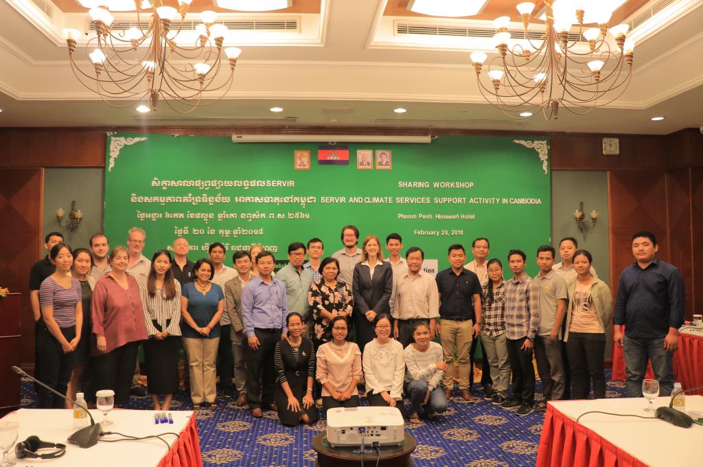
On February 20, in Phnom Penh, Open Development Cambodia (ODC) and The Asia Foundation (TAF) came together to hold a workshop to share how they are using GIS and Maps to address gendered development challenges.
Through the U.S. Agency for International Development’s (USAID) SERVIR-Mekong grants program, in partnership with the U.S. National Aeronautics and Space Administration (NASA), ODC and TAF organized a joint workshop to share its outputs and findings from the implementation of two grantee projects:
- “The use of Google Earth Engine (GEE) to play a role in gender equality and education in flood-prone areas” by ODC; and
- “Atlas on Gender and Environment” by TAF.
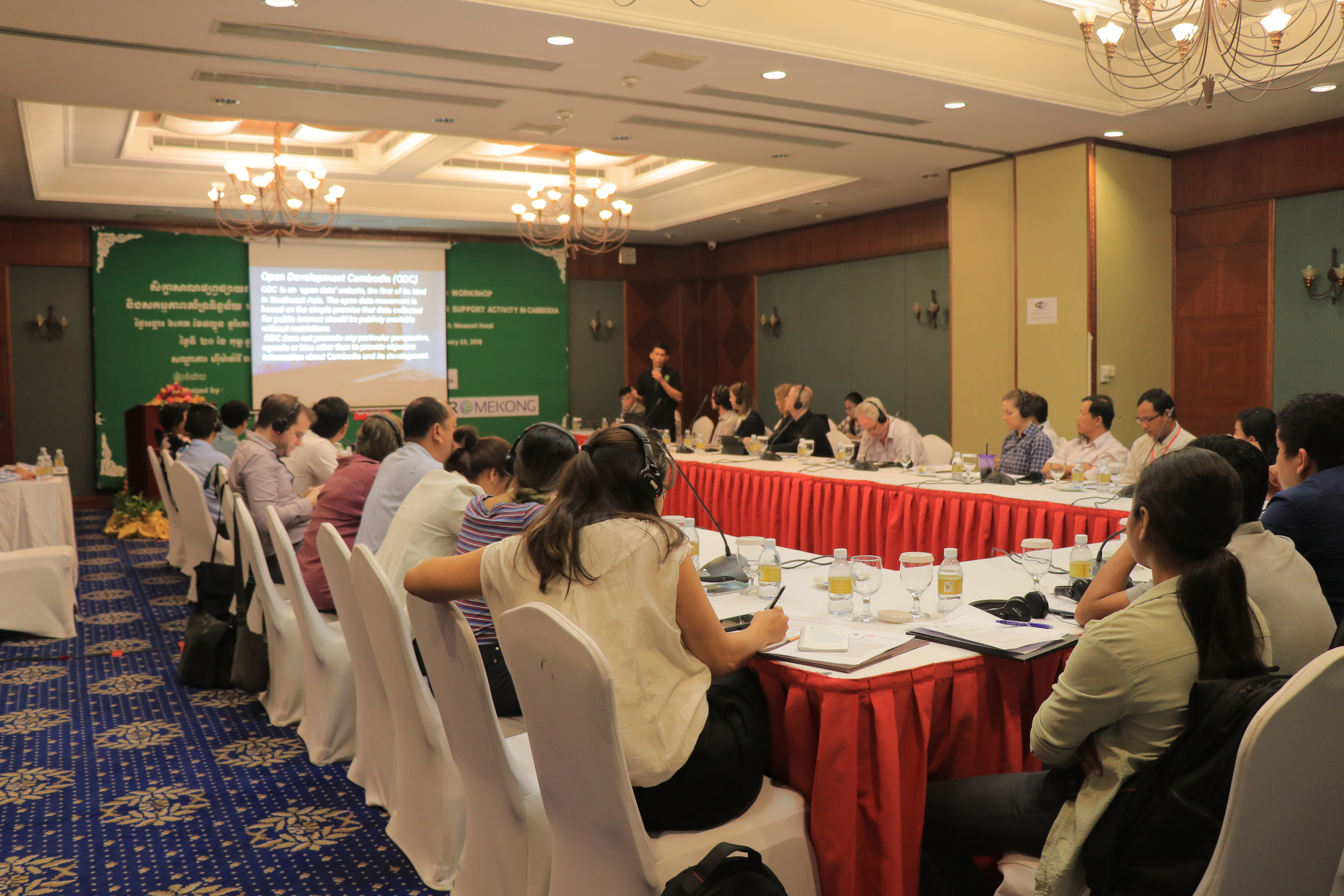
The workshop convened representatives from academic institutions, governmental and development agencies from Cambodia, across a number of different sectors including environment and women empowerment, to provide feedback on the findings of the two projects. The workshop provided an opportunity for key technical-agency officials and institutional stakeholders to discuss application of these projects’ outputs in developing policies as well as integrating the findings into future plans, particularly related to empowering women and improving equality in Cambodia.
The purposes of the workshop were to
- introduce “The use of Google Earth Engine (GEE) to play a role in gender equality and education in flood-prone areas” by ODC and “Atlas on Gender and Environment” by TAF;
- show and share the maps produced by the two projects; and
- to share major findings from the two projects.
Prum Punwath, Data Researcher and GIS Office for ODC, presented first how ODC used GEE to identify flood inundation zones surrounding the Tonle Sap Lake, particularly Battambang, Kampong Thom, Pursat, and Siem Reap in Cambodia, followed by collection and mapping out of schools information and location, and finally producing the maps of flood zone.
As a result of the research, the project found that about 1761 schools were under the flood during 2013, and interactive map layer was produced with information concerning school drop-out rate, numbers of student enrollment, and number of schools affected by flood. He then presented to the workshop the ODC’s website and their interactive map.
Following the ODC presentation, Terith Chy, Program Director at TAF, explained the methodology of collecting and analyzing the existing data and maps to understand environmental factors and resistance to climate change within Cambodia. The project aims to contribute to an understanding of how gender informs environment-related vulnerability and the impact of climate change and disaster risks on different group of people in Cambodia.
Terith presented on the 60 maps that have been produced during the project as well as the three analytical stories to highlight how these maps can be used to find geographic patterns with gender challenges. The three analytical stories covered the topic of the impact of the environment on agriculture, health and migration.
This workshop is part of SERVIR-Mekong’s grants program, which in addition to this sharing workshop also awards small grants to selected non-governmental organizations, universities and scientific institutes in Cambodia, Thailand and Vietnam. The focus of the small grants program is to explore geospatial technology to address environmental management and climate resilience in the Mekong Region.