Enhancing Forest Monitoring Across the Lower Mekong and South Asia Using Synthetic Aperture Radar Applications
Forests cover approximately 30 percent of Earth’s land surface and play a vital role in the global carbon cycle: forests account for around 72 percent of Earth’s terrestrial carbon storage, making vegetation biomass a larger carbon store than the atmosphere (Source: SAR Handbook). To improve monitoring and preservation of this natural resource, SERVIR and SilvaCarbon launched a series of global workshops across SERVIR hubs, including SERVIR-Mekong, on Synthetic Aperture Radar (SAR) applications, with successful workshops already held in West Africa and Hindu-Kush Himalaya.
SAR is a useful technology for monitoring forests’ vegetation structure, estimating biomass, and mapping land cover and land use changes over time, due to its all-weather capability at any time of day or night. However, the application of SAR data requires extensive preprocessing to generate usable products and the resulting data is often complex and hard to interpret.
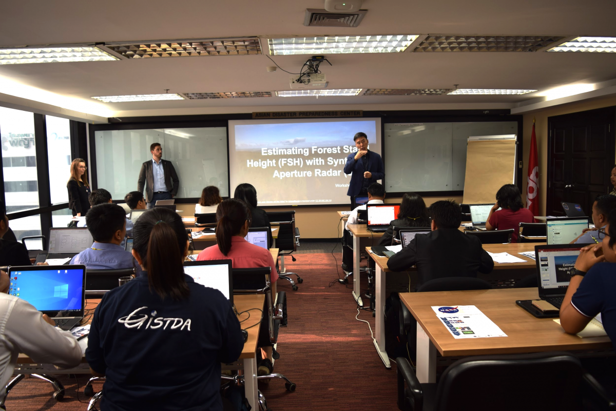
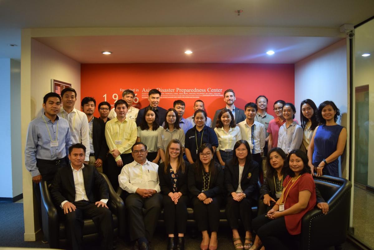
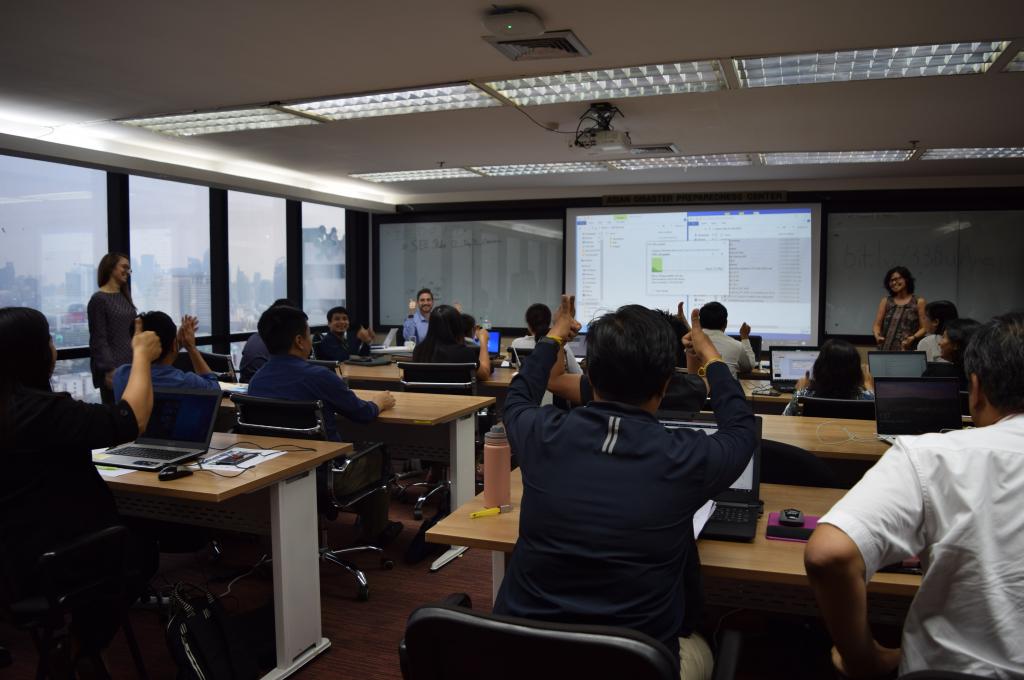
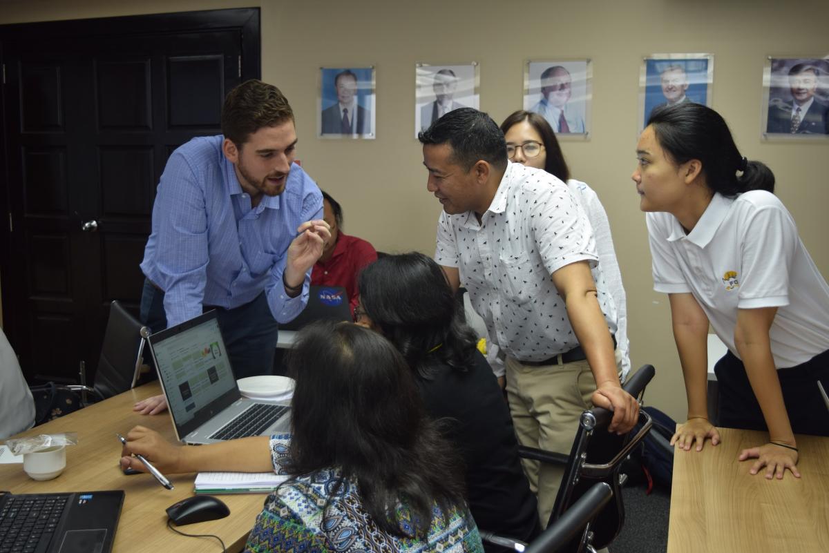
To address this challenge and to increase the capacity of researchers and practitioners to monitor forests using freely available SAR data, SERVIR Global, SERVIR-Mekong, SilvaCarbon and the U.S. National Aeronautics and Space Administration (NASA) Science Coordination Office, co-organized a technical training in Bangkok on Forest Stand Height (FSH) estimation using SAR data. Over 20 participants representing academic institutions and government agencies from Cambodia, Vietnam, Thailand, Nepal and Lao PDR participated in the training. Sessions included an overview of the theory behind SAR technology and its application based on the SAR Handbook: Comprehensive Methodologies for Forest Monitoring and Biomass Estimation, which was developed as a collaboration between SERVIR Global network and SilvaCarbon. The training primarily focused on the use of FSH estimation via two example datasets, with hands-on exercises so that participants would be well equipped to apply this technique to their own study areas. FSH estimation effectively works out the average canopy height, which is advantageous for determining forest age, characterizing plant and animal habitats, providing history of land use, and contributing to estimates of above ground biomass.
The training equipped participants to use this knowledge to improve forest monitoring, biomass estimation and other applications in their own countries.
“The benefits of SAR, including its all-weather ability, is very important for the tropical rainforests in Lao PDR, where there is a lot of cloud cover,” says Dr. Chittana Phompila from the National University of Laos, Faculty of Forest Science. Furthermore, he intends to integrate SAR training into both his teaching for the students as well as government staff in the provinces and at central level, to provide technical support.
With other regional SAR workshops being carried out globally, this initiative aims to address the need to apply SAR technology to support sustainable resource management. For further impact and outreach, the publicly available SAR Handbook, which outlines methods and provides guidance for the application of SAR datasets, will be a great resource for participants to access and use as a guide back in their home countries.
“I found this workshop useful in learning new techniques and methodologies for estimating forest stand height, and hope to share some of the knowledge I learned with my colleagues,” says Nguyen Thi Quynh Lam from Vietnam’s Forest Inventory and Planning Institute.
Following the workshop, Helen Blue Baldwin, Regional Science Associate from NASA’s SERVIR Science Coordination Office, who co-facilitated the workshop reflected, “I look forward to working on improvements to the forest stand height estimation algorithm with the SERVIR network and building upon the relationships established during the workshop to estimate forest stand height in their respective countries.”
(Read her full blog here)
SERVIR-Mekong, a joint initiative between the U.S. Agency for International Development (USAID) and NASA, aims to support the government of Cambodia, Lao PDR, Vietnam, Thailand, and Myanmar as well as regional institutions and other key stakeholders in Lower Mekong countries to utilize publicly-available satellite imagery and geospatial tools to improve environmental management and help build greater resilience to the negative effects of climate change.