
Geospatial data key to decision making in the Mekong
ADPC and SERVIR-Mekong assessed the need for geospatial data and technologies to support decision-making in environmental management, resilience against disasters, and preparing for climate change.
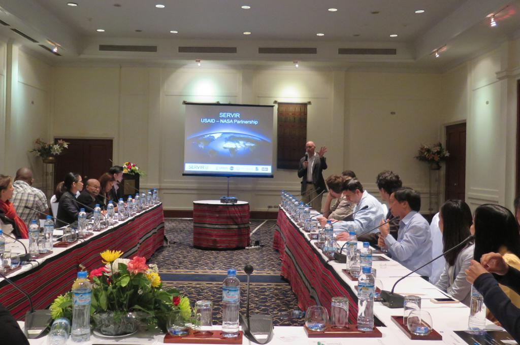
The SERVIR-Mekong team has assessed the geospatial data and technology needs in Cambodia, Lao PDR, Myanmar, Thailand and Vietnam.
“The findings reveal the need for inventories of data sets vital for decision-making in the governance and management of land and water, climate change adaptation, and disaster risk reduction,” said Dr. David Ganz, SERVIR-Mekong Chief of Party at Asian Disaster Preparedness Center. “We considered the perspectives of the different stakeholders in the development field such as government agencies, research institutions and civil society organizations.”
The assessment synthesizes the feedback from multiple information sources. The SERVIR-Mekong team led data gathering activities such as in-country workshops with non-governmental development actors, meetings with government officials and university representatives, online surveys, and a review of relevant assessments conducted in the past.
The findings point to a need for datasets on land use, water, weather (especially related to rainfall), disaster risk maps, and the distribution of natural ecosystems and how these benefit humanity.
SERVIR-Mekong will conduct similar assessments every four to five years to ensure that the hub’s services are aligned with the region’s most pressing needs.
Download the baseline Needs Assessment report.