
Google Earth Engine ‘roadshow’ continues in Myanmar
Geospatial data gives scientists and decision makers the ability to see landscape changes and guide land use decisions to enhance social benefit. In the Lower Mekong Region, scientists often struggle to monitor landscape changes because they lack sufficient access to geospatial technologies and data. A partnership between SERVIR-Mekong and Google is changing this reality and bringing the power of Google Earth Engine (GEE) to practitioners, dramatically improving their geospatial capabilities. SERVIR-Mekong GEE training across the region empowers scientists with state-of-the-art skills that directly guide decision makers in their environmental management and sustainable development planning (learn more about this training programme here).
The GEE training programme continued in Myanmar from 20 – 24 February 2017 in partnership with OneMap Myanmar - a government long-term initiative to enhance the quality and availability of key geospatial data, information, and knowledge for the management of land resources. Hosted by the Department of Agricultural Land Management and Statistics of the Ministry of Agriculture, Livestock and Irrigation, the training also included participants from various departments within the ministries of Natural Resources and Environmental Conservation; Relief and Resettlement; Transport and Communication; and National Planning and Development.
Myanmar continues to undergo rapid transformation since the end of military rule. These changes bring both opportunities and challenges related to land use planning, water resource management, and ecosystem diversity and productivity. Dr. Joan Bastide, Chief Technical Advisor for OneMap Myanmar says “with all these rapid changes happening on the ground, there is a tremendously high demand within the government for good quality geospatial data, that can really inform complex decision-making processes in a time and cost-effective manner. With its incredible processing power, Google Earth Engine offers ground-breaking new possibilities for the monitoring of these changes and their impact on the environment and the people. Thanks to this partnership with the SERVIR team, we can help the government take ownership of this technology and adapt it to their needs.”
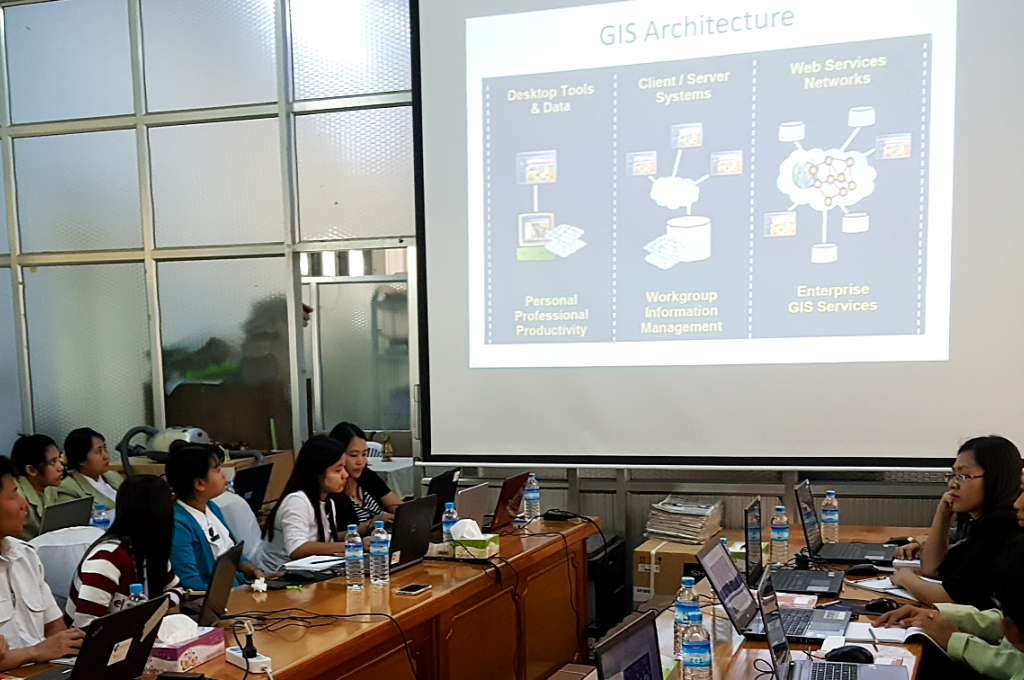
A critical goal for SERVIR-Mekong is to help national level partners develop their capacity to use geospatial information systems (GIS) for more effective environmental management and development. To achieve this goal it is necessary to work with champions at the national level who will lead the charge for greater capacity in GIS. SERVIR-Mekong and its GEE training programme have partnered with OneMap Myanmar, which already plays a critical role in building a national spatial data infrastructure, to build additional capacity, share data, and advocate jointly on the power of GIS for effective development planning and policy.
Reaching a level where geospatial data can be used optimally by government and non-government agencies requires enhanced skills and understanding of the underlying technology. The GEE platform provides scientists the ability to access satellite imagery and computing power to analyze data at much lower cost than previously possible. SERVIR-Mekong partners with locally based initiatives like OneMap Myanmar to bring Google Earth Engine to the people who can then use the results for development and community resilience. National level capacity is complemented at the regional level with expertise in GIS available at the Asian Disaster Preparedness Center (ADPC), which supports transboundary knowledge sharing and tool development that spans borders.
As capacity grows, training programmes for GEE will be readily available through local partners as well as on an upcoming SERVIR-Mekong EdX platform, an online educational platform to access training courses related to geospatial information systems.
***
SERVIR-Mekong is funded by the United States Agency for International Development (USAID) in partnership with National Aeronautics and Space Administration (NASA) and implemented by the Asian Disaster Preparedness Center (ADPC) in consortium with Spatial Informatics Group (SIG), Stockholm Environment Institute (SEI), and Deltares