
Monitoring Rainfall and Water Levels from Space
In recent years, weather-related disasters such as floods and storms have become frequent in the Lower Mekong Region. According to the United Nations Office for Disaster Risk Reduction, from 1995 to 2015, almost half of all the disasters across the globe were floods, which affected 2.3 billion people. The majority of these events occurred in Asia.
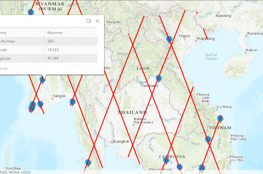
In order to provide timely and critical information on floods and water-related disasters, SERVIR-Mekong, a joint initiative between the United States Agency for International Development (USAID) and the U.S. National Aeronautics and Space Administration (NASA) and implemented by Asian Disaster Preparedness Center, designed and developed the Virtual Rain and Stream Gauge Information System (VRSGIS). The VRSGIS supports governments in Lower Mekong countries make informed and effective decisions by providing near real-time rainfall and stream water elevation data using publicly available satellite measurements. These efforts have created a virtual network of rain and stream gauges at points widely distributed over the entire Lower Mekong Region.
SERVIR-Mekong services leverage a wide range of earth observation and ground-based measurements to ensure better calibration of satellite-derived rainfall estimations. In particular, the VRSGIS features near real-time products from the state-of-the-art Global Precipitation Mission (GPM), which is a constellation of satellites measuring rainfall from space. Moreover, data from the Tropical Rainfall Measurement Mission (TRMM) along with the Climate Prediction Center MORPHing (CMORPH), the Climate Hazards Group InfraRed Precipitation with Station (CHIRPS), the Global Satellite Mapping of Precipitation (GSMAP) products are made available on a user-friendly web interface.
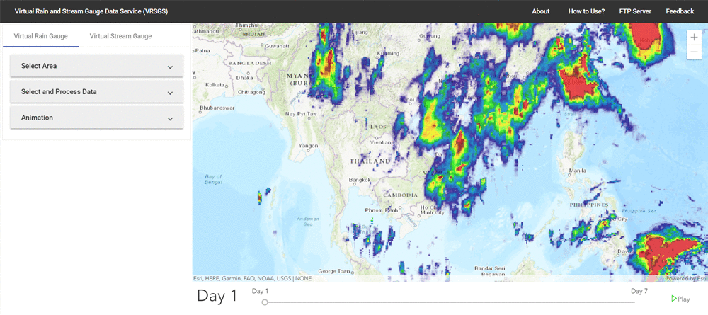
Besides rainfall, water elevation estimations from radar altimetry Jason-2 and 3, Sentinel-3 satellites are provided in easily accessible data formats. The latest version of VRSGIS enables wide-scale and ease of use, increased consistency and standardization of data formats. A variety of applications of this data includes now-casting, flood forecasting, water resource accounting and all phases of landslide management, river basin management and transboundary river flow management.
The latest updated version of the VRSGIS with specific data sets can be accessed here.
SERVIR-Mekong plans to apply the VRSGIS in Cambodia by working with the Department of Hydrology and River Work under the Ministry of Water Resources and Meteorology (MOWRAM). VRSGIS data will feed into existing hydrological models, as well as a newly developed modelling system being designed by MOWRAM through an Asian Development Bank project. The addition of near-real time gridded rainfall data sets will improve the quality and accuracy of rainfall estimates in Cambodia and generate better early warnings for floods.