
SERVIR-Mekong Training on Sustainable Reservoir Management Enhances Climate Resilience in the Lower Mekong Region
The Lower Mekong region produces over 50 million tons of rice each year and contributes to one-quarter of the world’s rice exports. When a flood or drought event occurs, it has food security and economic impacts across the Lower Mekong. On average, annual floods affect over 3 million people across the region, resulting in damages and losses of approximately $90 million. The extreme drought event of 2019 affected over 1.8 million hectares of cropland resulting in damage and loss of $400 million.
SERVIR, a unique partnership between the U.S. Agency for International Development (USAID) and the U.S. National Aeronautics and Space Administration (NASA) uses publicly available satellite technologies to support regional institutions, governments, and citizens to address climate-related challenges such as disaster preparedness and response, water resource, and land management. SERVIR-Mekong, implemented by the Asian Disaster Preparedness Center (ADPC), is part of a network of SERVIR hubs currently operating across the developing world.
SERVIR-Mekong developed the Reservoir Assessment Tool (RAT-Mekong) with guidance from the University of Washington and the University of Houston, through the NASA Applied Science Team,— to support the Mekong River Commission (MRC) and its member countries to manage their reservoirs more effectively.
RAT-Mekong is part of MRC’s data portal, which is regularly accessed by member countries for reservoir water management. The tool provides an interactive, state-of-the-art, and web-based application to understand trends in conditions such as water inflows, outflows, and storage changes. Once a drought or flood is forecasted for a given area, countries will use the tool to evaluate water availability in their reservoirs and prepare for the impending drought or flood. Tracking sedimentation rates from space using this tool also helps save time and money by identifying the reservoirs in greatest need of surveys and mitigation measures.
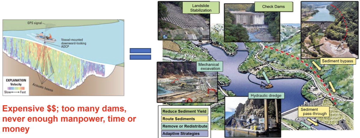
Tracking reservoir storage loss using SERVIR-Mekong’s Reservoir Assessment Tool helps save time and money by identifying the reservoirs in greatest need of surveys and mitigation measures.
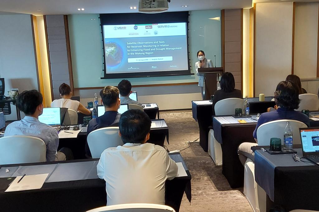
From August 9 - 11, 2022 SERVIR-Mekong conducted a three-day training for officials of the MRC, representatives from member states’ National Mekong Committees, and national line ministries on utilization of the RAT-Mekong Tool to prepare for and respond to droughts and floods. Attended by twenty-four participants, the training included lessons on the use of satellite observations for reservoir monitoring in the Lower Mekong region.
“I am grateful for this extraordinary collaboration between the Mekong River Commission,USAID, NASA and ADPC via the SERVIR-Mekong program,” said Mr. Tran Minh Khoi, Director, Technical Support Division, Mekong River Commission. “We look forward to strengthening our collaboration in using satellite data and geospatial information to promote and coordinate sustainable management and development of water and related resources for the countries’ mutual benefit and the people’s well-being in the Lower Mekong region.”
Over the past eight years, SERVIR-Mekong has partnered with the MRC to develop decision support tools that assist member countries prepare for and respond to floods and droughts. Speaking at the training, Mr. Aaron Brownell, USAID’s Regional Development Mission for Asia’s Regional Environment Office Director reiterated the goal of USAID’s Climate Strategy: to advance equitable and ambitious actions to confront the climate crisis. He acknowledged SERVIR-Mekong’s contribution toward that goal. “SERVIR-Mekong has partnered with the Mekong River Commission to develop demand-driven tools and services to ensure that the 250 million residents of the Lower Mekong Region are better prepared to understand, plan for, and respond to the impacts of climate variability and change.”
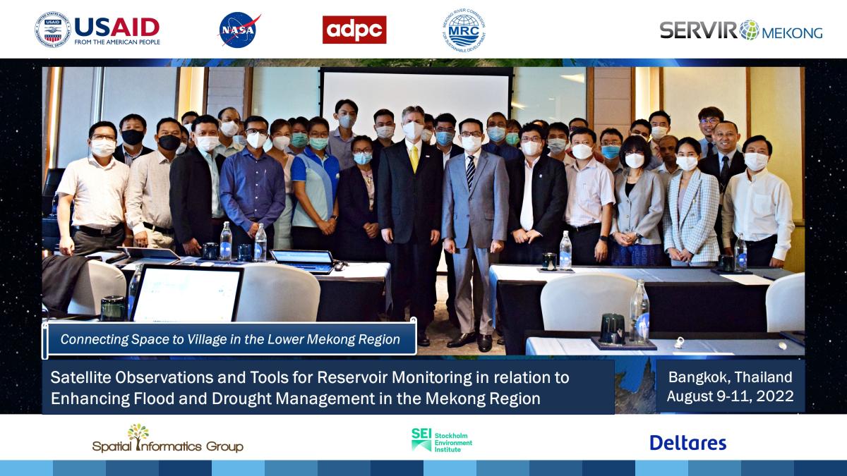
Group photo of participants, instructors, and distinguished guests. Photo Credit: ADPC
To support member countries prepare for and respond to floods and droughts, SERVIR-Mekong and MRC have worked together to develop other decision support tools to assist the MRC in implementing its Drought Management Strategy (2020 - 2025). SERVIR-Mekong developed new generation satellite-based rainfall data and products to improve the accuracy of flood forecasting and give first responders fifteen days lead time (as opposed to six days previously). The updated data provides policymakers with longer term forecasting abilities on the potential effects of extreme monsoon rains and tropical storms and helps strengthen the resilience of communities in the Lower Mekong by reducing flood risk.
Click here to access the RAT-Mekong Decision Support Tool and learn more about the team responsible for its development.