
SERVIR-Mekong Welcomes a New Round of NASA Applied Science Team Members
SERVIR-Mekong, a joint partnership between the U.S. Agency for International Development (USAID) and the National Aeronautics and Space Administration (NASA), welcomed four new NASA SERVIR Applied Science Team (AST) projects funded through the NASA Research Opportunities in Space and Earth Sciences grants. The new AST, now in its third iteration, will support SERVIR’s service development efforts using the team’s areas of expertise. The selected projects focus on using satellite data to address regional needs related to floods and water-related disasters, agriculture and food security, and land use changes and ecosystems. The lead project investigators include Dr. Narendra Das from the NASA Jet Propulsion Laboratory, Dr. Robert Kennedy from Oregon State University, Dr. Dalia Kirschbaum from the NASA Goddard Space Flight Center, and Dr. Hyongki Lee from the University of Houston.
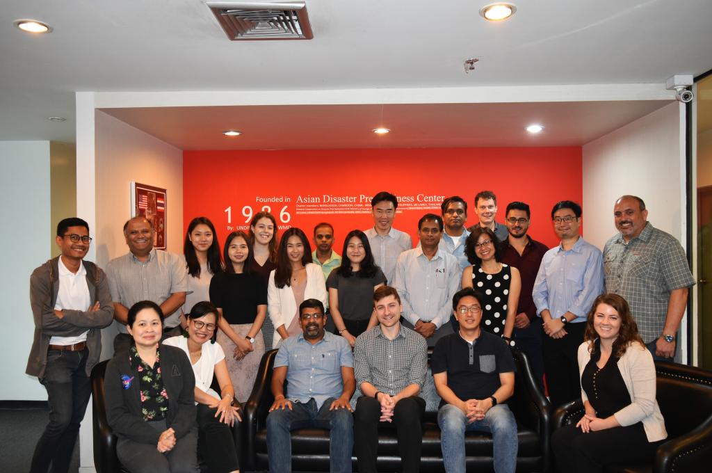
To kick off this new round of projects, representatives from the SERVIR-Mekong Applied Science Team, the SERVIR-Mekong consortium, USAID, and NASA met for a three-day working meeting, January 29 to 31 at the Asian Disaster Preparedness Center in Bangkok, Thailand. This meeting focused on familiarizing the AST team with active and planned SERVIR-Mekong geospatial services in the Lower Mekong region, regional stakeholder needs, and the proposed projects and expertise the AST team brings to SERVIR-Mekong.
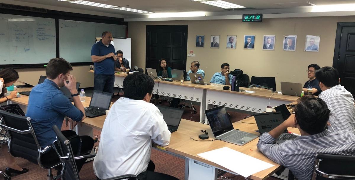
SERVIR-Mekong prioritizes service areas through consultation with stakeholders in the region in order to identify demand-driven tools and services to be developed. At the meeting, participants identified overlapping data, models, and resources supporting existing SERVIR-Mekong efforts to further refine future AST support. Some examples include the use of Sentinel-1 data for monitoring land cover change, flood inundation mapping, and crop type mapping, as well as incorporating precipitation data from satellite observations and weather forecast models to improve flash flood and drought forecasting and agricultural planning efforts in the region.
By aligning science and technological support with partnerships on the ground, SERVIR-Mekong is able to more efficiently and strategically bring space to village―and support governments to make more informed decisions for locally-developed solutions.
The article was written by Amanda Markert, NASA/SERVIR-Mekong Regional Science Coordination Lead.