SERVIR SEA Calls for Enhanced Use of Satellite Data For Effective Forest Conservation
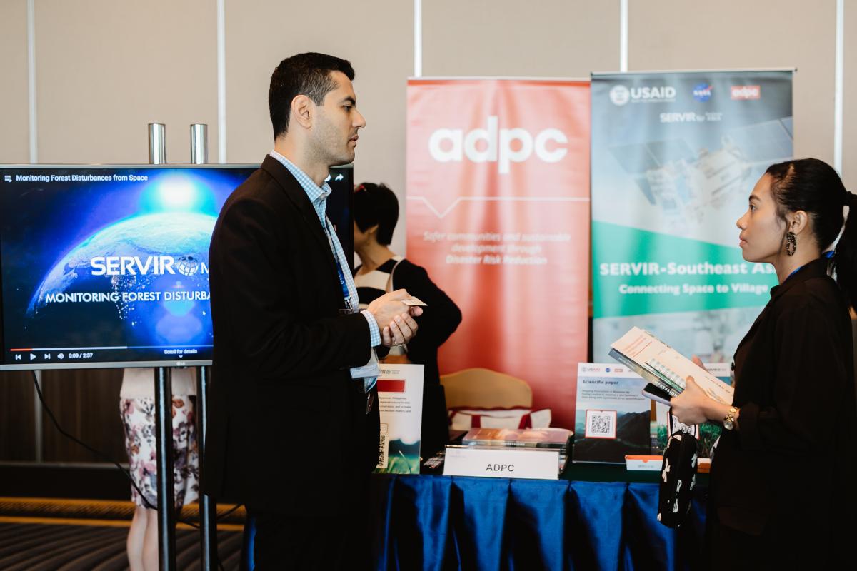
SERVIR Southeast Asia (SERVIR SEA) joined 200 leaders in sustainable agriculture and forestry to showcase technologies and innovations for sustainable land use management in Southeast Asia during a two-day event organized by USAID Green Invest Asia on May 18 - 19.
Implemented through a partnership between the U.S. Agency for International Development (USAID), U.S. National Aeronautics and Space Administration (NASA), and Asian Disaster Preparedness Center (ADPC), SERVIR SEA uses publicly available satellite data to address climate change and sustainable development challenges.
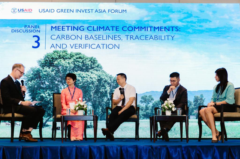
Nguyen Hanh Quyen, SERVIR SEA’s Ecosystem and Carbon Management theme lead, highlighted the importance of satellite data and geospatial information in forest conservation at the event. “Satellite data and geospatial technologies can credibly support Carbon Monitoring, Reporting, and Verification (MRV) processes thereby making it easier for local communities and governments to benefit from Reduced Emissions from Deforestation and Forest Degradation (REDD+) projects,” she said.
REDD+ is a voluntary climate change mitigation mechanism developed by Parties to the UNFCCC. It aims to incentivize developing countries to reduce emissions from deforestation and forest degradation, conserve and enhance forest carbon stocks and, sustainably manage forests.
Multilateral climate funds have pledged over $ 5 billion to support REDD+ since 2008, according to Climate Funds Update. Measurement, Reporting and Verification (MRV) forms the crux of any successful REDD+ project as it enables funders to calculate the additional amount of carbon stored in the forest due to sustainable land use practices.
Rain or shine, technological developments in cloud-penetrating Synthetic Aperture Radar (SAR) technology, allow the Earth’s surface to be visible at regular intervals throughout the year. SAR, together with optical satellite imagery, can be used to monitor, report and verify millions of hectares of forests remotely thereby allowing developing countries to be compensated for their forest conservation efforts.
Commodity-crop expansion has been the largest driver of deforestation between 2000 - 2015 in Southeast Asia, according to a USAID-funded study published in 2021. An estimated 60% of the 15.8 million hectares of forest loss during this period now supports cash crops, e.g., rubber, oil palm, pulpwood, and coffee.
The event also provided a platform to engage with industry leaders, buyers, processors, investors, development finance institutions, donors, and businesses interested in sustainable agriculture and forestry sectors in Southeast Asia.