
SERVIR SEA Geospatial Data Help Forest Restoration Planning and Building Social Forestry Models in Southeast Asia

Tropical forests are believed to account for about seven percent of the Earth’s land surface. They play an important role in balancing global carbon levels and contributing to biodiversity and climate change mitigation.
Southeast Asia, while occupying only three percent of the planet’s total land area, is home to about 20 percent of the world’s plants and animal species, a third of the coastal and marine habitats and coral reef species. It is also home to some of the world’s best-known biodiversity hotspots, including the Indo-Burma Biodiversity Hotspot comprising the Greater Mekong Countries.
But the region also faces one of the world’s highest risks of ecosystems collapse and species extinction due to massive and often unregulated industrial and agricultural practices, rapid development and urbanization, and deforestation.
“The critical drivers threatening Southeast Asia’s biodiversity include land and sea use change, pollution, species overexploitation, climate change, invasive species, and disease,” according to the Asia Pacific Foundation of Canada, an independent not-for-profit organization.
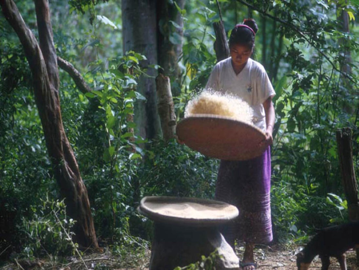
Such facts and figures highlight the importance of countries, regional and international organizations, private sector partners, as well as nongovernmental and civil society organizations working together to reverse the trend by collecting accurate data and proposing viable solutions that can not only stop deforestation but also propose social forestation projects that would reverse the damage caused already.
Launched in January 2023, SERVIR Southeast Asia (SERVIR SEA) -- a partnership between the U.S. Agency for International Development (USAID), the U.S. National Aeronautics and Space Administration (NASA), and the Asian Disaster Preparedness Center (ADPC) -- makes use of publicly available satellite imagery and geospatial technologies to address challenges related to climate resilience.
Among the forestry and biodiversity tools it has co-developed in consultation with regional partners are the Regional Land Cover Monitoring System (RLCMS), Biophysical M&E Dashboard, and the Cambodia Protected Areas Alerts System.
The RLCMS, using the power of the Google Earth Engine and in-person field observations, collects country-specific and regional data that can help develop annual land cover maps with a multi-purpose typology.
RECOFTC, an ADPC partner – SERVIR SEA’s implementing partner – serves as a regional hub for training and research in community forestry. The partnership between the two organizations has the potential to assist international organizations, governments, and communities in the region better understand and implement social forestry action plans.
SERVIR SEA partners leverage the system for annual greenhouse gas emissions reporting under their United Nations Framework Convention on Climate Change (UNFCCC) commitments.
In collaboration with the United Nations Food and Agriculture Organization (FAO), ADPC and Spatial Informatics Group (SIG) have been involved in the co-development and optimization of SePlan, a spatially explicit forest restoration planning tool.
SERVIR SEA has provided regional land cover data to improve the resolution of opportunity cost layer in SePlan, which is the value of land when growing crops or pasture if it is not restored to forests. ADPC and SIG will continue to work to enhance user interface and ability to use their customized data in SePlan for more accurate results, depending on the level of analysis. With those improvements, SePlan can be used in analyzing the information and creating forest restoration planning for regional, country-specific and site levels.
Those social forestry plans and initiatives can benefit communities and nations, thus contributing to the Southeast Asia regional goal of better adapting to climate change, as well as developing better economic and social development plans.
RECOFTC, with its extended community forestry networks in the region, could over time advocate for the adoption of SePlan-provided models so local actors could initiate plans and formulate public opinion at the ground level and influence national leaderships for policy making.
“RECOFTC has long valued and utilized SERVIR SEA’s products and services, and we see many new opportunities to collaborate with each other and with governments in the region to better understand, mitigate and adapt to climate change impacts,” says Peter Cutter, RECOFTC’s Director of Program Coordination and Technical Services.
“Through our collaboration with SERVIR SEA, we hope to leverage SePlan to identify areas where local forestry communities can develop projects that would attract private sector investment in social forestry projects, integrating them into commodity chains,” he adds.
An example might be to use SePlan to identify forest restoration priority areas in the transboundary landscapes of the Mekong region, aiming to conserve and restore vulnerable forest ecosystems with high biodiversity value.
All parties acknowledge that the collaboration will take time and that refining these approaches must happen together. But the fruit of the collaboration will contribute to the goals and objectives of all organizations involved, as well as the people of Southeast Asia, to provide better climate action solutions.
“SERVIR SEA’s mandate is to work with regional organizations, partners, and communities to co-develop solutions that help Southeast Asia, as a region, promote geospatial technology application for enhancing forest quality through forest restoration planning, and aims to deal with increasingly negative impacts of climate change,” says Quyen Nguyen, SERVIR SEA’s Ecosystems and Carbon Management lead.
“When the climate change impacts are compounded by unregulated economic development projects, they actually end up having multiplied consequences. And that is what we are trying to reverse, even if the model still needs improvement,” she adds.