
SERVIR Southeast Asia Tools to Help Cambodia Agriculture Industry, Boost Economy

SERVIR Southeast Asia (SERVIR SEA) tools and expertise, complimenting the broader regional policies of the U.S. government and those of the Association of Southeast Asian Nations (ASEAN), could contribute to a more robust agricultural sector in Cambodia.
Understanding the critical role of the private sector in boosting and stabilizing the agriculture industry in Cambodia, SERVIR SEA is working with the country’s private sector insurance companies such as the Chamroeun Group, as well as with local authorities and entities, to avail them with drought and floods forecasting data to enhance their capacity to design effective insurance products and assess risks accurately.
SERVIR SEA is a joint initiative of the U.S. Agency for International Development (USAID), the U.S. National Aeronautics and Space Administration (NASA), and the Asian Disaster Preparedness Center (ADPC). The project makes use of publicly available satellite imagery and geospatial technologies to address challenges related to climate resilience, agriculture, water security, air quality, and ecosystems in Cambodia, Indonesia, Lao PDR, Myanmar, Philippines, Thailand, and Vietnam.
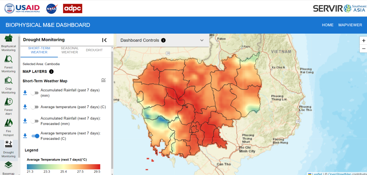
While SERVIR SEA’s Regional Land Cover Monitoring System (RLCMS) can generate customized, high-quality land cover information products, the Mekong Drought and Crop Watch (MDCW) provides historical and forecasted weather and seasonal scale climate information as well as drought information that can be used for local level decision making. The tool assists local governments and the agricultural sector with seasonal drought forecasting for implementing short- and long-term mitigation measures during and in advance of droughts.
Customized from these regional tools, SERVIR SEA developed the Cambodia Biophysical Monitoring and Evaluation Dashboard, which provides more accurate crop data, as well as short-term and seasonal weather forecast information including accumulated rainfall and average temperature. These tools’ remote sensing capability can be a valuable asset for microfinance and crop insurance lenders, providing them with essential information on crops, weather forecasts, climate risks and allowing them to make well-informed decisions, thus reducing financial risks for both borrowers and lenders.
Furthermore, satellite imagery can verify insurance claims, evaluating the extent of damage caused by natural disasters or extreme weather events. Geospatial models on drought can also aid insurers in predicting potential risks and setting insurance prices more accurately. With the help of remote sensing technology, the agricultural sector in Cambodia can achieve greater resilience and prosperity.
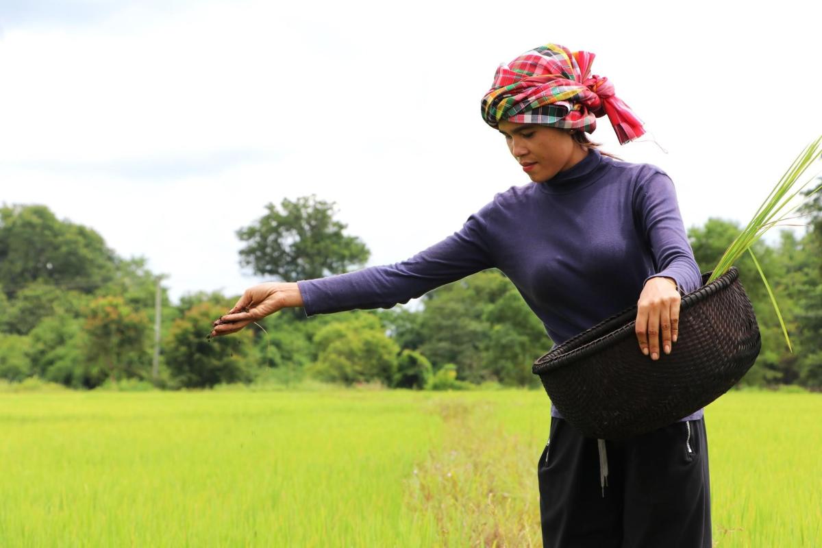
The data can be delivered to farmers through loan officers from microfinance companies. This information will also be valuable for individual farmers and community farming organizations, helping them to better organize agricultural extension activities in accordance with weather conditions such as supporting farmers in making decisions to apply fertilizer or harvest effectively.
Agriculture is a major component of Cambodia’s economy, accounting for about 22 percent of the gross domestic product (GDP) and employing more than 35 percent of the workforce in 2022, according to the U.S. Department of Commerce’s International Trade Administration (ITA).
The U.S. government launched the HARVEST III project worth up to $25 million in 2022 to promote inclusive, sustainable economic growth by modernizing and diversifying Cambodia’s agriculture sector. Administered through the USAID, the project is expected to help farmers improve how they grow and market their produce, and connect them with new buyers and international markets previously inaccessible to rural communities.
Harvest III, building on the results of its predecessor HARVEST II from 2017 to 2022 which generated $28 million in new private sector investments and created more than 2,500 jobs, will also help families build resilience in the face of growing climate threats and the current global food, fertilizer, and fuel crisis.
According to the Asian Development Bank data, Southeast Asian countries lost $21 billion worth of agricultural products between 2008 and 2018 due to extreme weather events. Crop growth and yield is highly sensitive to sudden and extreme temperature changes, as well as by drought and floods – which also have increased because of climate change.
ASEAN, whose members include more than 600 million people in 2020, has also highlighted the importance of food stability in its regional framework, given Southeast Asia’s both rising population and economic growth that has come with rising incomes and more purchasing power that demands more food production.
“SERVIR SEA’s focus on geospatial applications provides critical support for crop insurance in Cambodia, bridging the gap left by scarce meteorological data and enabling farmers to better manage risks associated with climate change. We hope that the model can be replicated to other countries in Southeast Asia,” said Nguyen Hanh Quyen, SERVIR SEA ecosystems and carbon management lead.