
Space Age Technology to Monitor Land Use in the Lower Mekong

SERVIR-Mekong, a collaboration between the United States Agency for International Development (USAID) and the U.S. National Aeronautics and Space Administration (NASA), is a regional hub that promotes the use of publicly available satellite imagery and geospatial technologies for decision makers in the Lower Mekong for effective disaster risk reduction and climate resilience. A primary objective of the SERVIR-Mekong program is to develop tools, products and services that help empower decision makers make informed environmental management decisions.
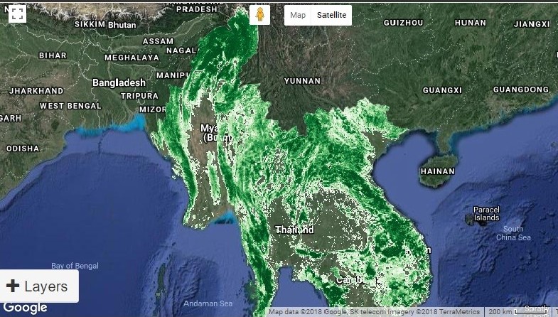
The latest of these tools is the Regional Land Cover Monitoring System (RLCMS), which can be accessed here.
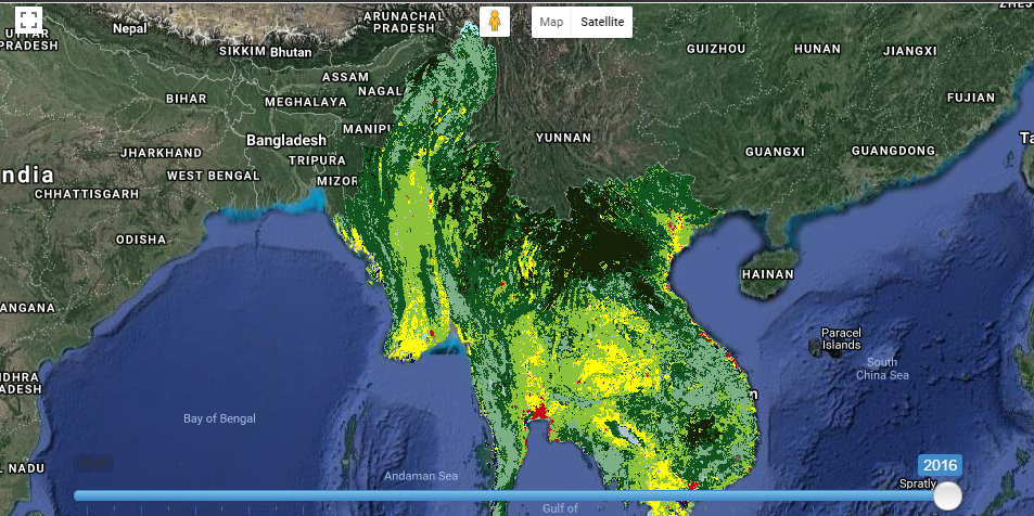
This state-of-the-art tool uses remote sensing science and associated technologies, open data and the power of cloud computing (Google Earth Engine) to achieve high-quality map products across the Lower Mekong region. The RLCMS helps address challenges to land management, including difficulties in accessing data, limited financial and staff resources, lack of transparency in method and inconsistencies in land cover maps.
SERVIR-Mekong is currently providing RLCMS services to Myanmar. This includes the submittal of land cover monitoring data to the Second National Commission and the Forest Department to meet their greenhouse gas reporting requirements to the Intergovernmental Panel on Climate Change and the Forest Resource Assessment reporting requirements to the United Nations Food and Agriculture Organization, respectively.
“There is a tremendously high demand within the government for good quality geospatial data, that can really inform complex decision-making processes in a time and cost-effective manner. With its incredible processing power, Google Earth Engine offers ground-breaking new possibilities for the monitoring of these changes and their impact on the environment and the people,” said Dr. Joan Bastide, Chief Technical Advisor for OneMap-Myanmar. “Thanks to this partnership with the SERVIR team, we can help the government take ownership of this technology and adapt it to their needs.”
SERVIR-Mekong plans to extend the application of RLCMS to other countries in the region. The RLCMS is being tapped to inform the “State of the Land Report,” which covers the Lower Mekong region and is supported by the Center of Development of Environment established by the University of Bern, Switzerland.
SERVIR-Mekong is hosted by the Asian Disaster Preparedness Center (ADPC), a regional institution specializing in disaster risk reduction and climate resilience for Asia and the Pacific, with technical support from its consortium partners, Spatial Informatics Group, Stockholm Environment Institute and Deltares.