
Understanding the impacts of dam inundation in the Lower Mekong Region
The Irrawaddy, Salween, Mekong, and Red rivers are all major international river systems that support millions of people by providing services as diverse as fishery and agricultural production, provision of drinking water, and electricity production for households and industry.
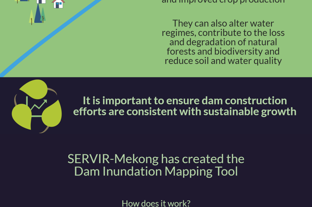
Impacts from alterations to the complex ecology of these river systems can be hard to anticipate -- yet assessing these impacts prior to major infrastructure projects should be paramount if the societies that rely on these rivers are to thrive. A key source of impacts on the region’s major rivers is damming. Whereas dams often provide significant value in terms of electricity production, drought and flood risk reduction, and improved crop production, they can also alter water regimes, contribute to the loss and degradation of natural forests and biodiversity, and reduce soil and water quality.
It is important to ensure dam construction efforts are consistent with sustainable growth. Balancing the benefits of dams with the costs is one of the most complex and consequential challenges facing the Lower Mekong Region.
SERVIR-Mekong, funded by the U.S. Agency for International Development (USAID) and in partnership with the National Aeronautics and Space Administration (NASA), works with partners in the region to improve decision-making through the application of tools and services that leverage the value of earth observation data. Recently, SERVIR-Mekong partnered with CGIAR’s Water, Land, Ecosystems program (WLE), USAID’s GeoCenter, and others to produce a database of the inundation areas (reservoirs) of existing dams as well as the likely inundation areas of planned and proposed dams. The database is based on the regional transboundary dam database maintained by the WLE program and partners and includes each dam’s location, height, construction date, and the area of actual or hypothetical inundation. Potential uses of the database include assessing changes to river hydrology, understanding actual and potential land conversion patterns, and calculating impacts to carbon storage in the region’s ecosystems.
Additionally, SERVIR-Mekong worked with WLE, Environmental Systems Research Institute (ESRI), and others to produce an interactive and online Dam Inundation Mapping Tool that draws on publicly available satellite data to model the inundation areas of hypothetical dams. The tool allows any user to see and download the inundation area of a potential dam given only the location and height of the dam. This information can provide insight into the costs and benefits of potential dams and, in some cases, facilitate a preliminary assessment of dam options
Both the Dam Inundation Database and the Dam Inundation Mapping Tool provide decision makers with some of the information needed to ensure that dam construction in Southeast Asia is part of a sustainable growth pathway that allows communities to thrive.