
Using Landsat to understand changes in land cover
With the first Landsat instrument coming online in 1972, the Landsat missions have produced the world’s longest continuous record of medium-resolution earth observation data. This longevity and the ongoing consistency and quality of Landsat data products mean that data from these missions continues to be used in a wide variety of application contexts--including those that are the focus of the SERVIR program. Recognizing this, SERVIR-Mekong partnered with the US Department of Interior’s International Technical Assistance Program and the multi-agency SilvaCarbon program to facilitate a training course focusing on understanding, accessing, and effectively using data from the Landsat Earth observation missions.
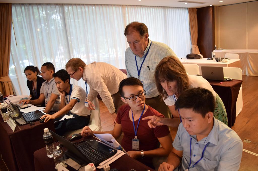
A five-day training course was held from October 26 to 30, 2015, in Bangkok with instruction provided by remote sensing specialists from the US Fish and Wildlife Service and US Geological Survey. Twenty-eight training participants participated in the training with strong representation from all Lower Mekong Region (LMR) countries; they included faculty from the SERVIR-Mekong University network and representatives from government agencies.
One of the most important applications of Landsat data is to support our understanding of land cover patterns and how these change over time. Much of the training focused on procedures and tools for producing maps of various categories of land cover including forests, crops, and areas covered by water. It exclusively used open source desktop and online software so that users could appreciate the analytical power of these readily available tools.
For many, the training was a first opportunity to explore the use of Google Earth Engine, a free online service for accessing and running complex models and algorithms to discover, view, and process Landsat and many other datasets. Participants also practiced using the popular “Earth Explorer” online portal to search for and download images of interest.
Other topics of instruction, demonstration, and discussion included Landsat data’s role in crop yield monitoring and forecasting efforts, considerations for developing and mapping custom land cover typologies, and the creation and stewardship of quality metadata. Working in small teams on independent projects allowed participants with shared interests to explore a range of questions, from how to compare land use classification methods to how to use Landsat products to map urban expansion in the Mekong Delta.
This training event was organized and supported by the U.S. Department of the Interior International Technical Assistance Program, the USAID & NASA supported SERVIRMekong Program, and the U.S. Government’s SilvaCarbon Program.
SERVIR-Mekong will continue to identify and offer capacity building opportunities such as this to a wide range of stakeholders in the region and will also continue to widen capacity building efforts via an expanding network of academic and other partners.