
Worst Floods in Decades hit Cambodia - SERVIR-Mekong Supports World Food Programme's Disaster Response and Monitoring System
Technology is a great leveller. As the world battles COVID 19—one of the worst pandemics on record—technology has helped develop a vaccine in record time, and has enabled billions in the global workforce to work remotely. Geospatial technologies have also helped save lives; providing far-reaching solutions to pressing challenges such as disaster response.
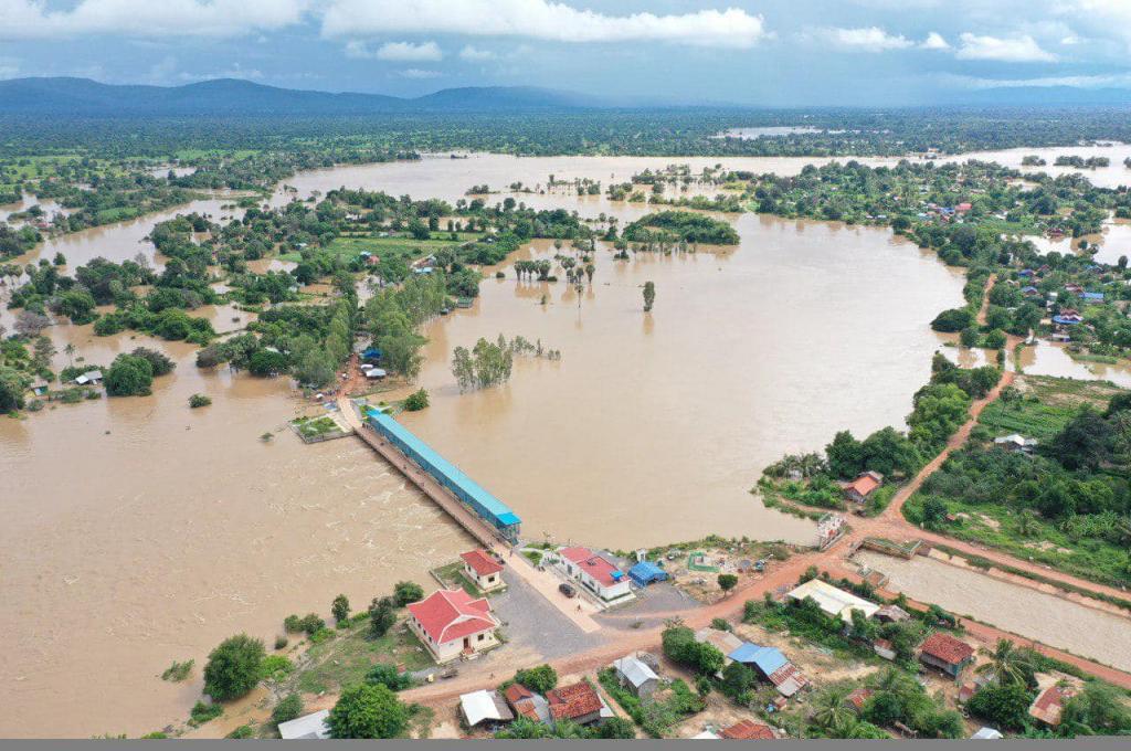
Since October 2020, Cambodia has experienced extreme flooding that affected more than 792,000 people and killed at least 43. Technology developed by the World Food Programme (WFP) using earth observation data from SERVIR-Mekong, a unique partnership between the U.S. Agency for International Development (USAID) and the U.S. National Aeronautics and Space Agency (NASA), has helped the Government of Cambodia and humanitarian partners respond to the emergency situation using near real-time data from satellites to strengthen disaster response. This SERVIR-Mekong-WFP collaboration was acknowledged by the World Meteorological Organization in its “2020 State of Climate Services” report.
Platform for Real-Time Impact and Situation Monitoring (PRISM) developed by WFP is a one-of-a-kind comprehensive disaster risk management platform that assesses the potential risk and forecasts the impact of climate hazards on vulnerable communities; to inform risk reduction activities and target disaster response. In response to the floods in Cambodia, the Government of Cambodia and the Humanitarian Response Forum (HRF), a mechanism to ensure cooperation and communication between the United Nations agencies, international NGOs and international organizations during humanitarian disasters, used PRISM to develop a better understanding of the geographic extent of the floods and deployed emergency assistance where it was most needed. This data was also used to produce Flood Situation Reports, and formulate a comprehensive flood response plan to provide relief to the affected population.
This highlights how geospatial technologies can help save lives. Use of geospatial technologies for disaster response, disaster risk reduction, and resilience-building will continue to grow in the future as these technologies mature. In Asia, this evolution will be guided by the Asia-Pacific Plan of Action on Space Applications for Sustainable Development (2018–2030) - a needs-driven blueprint that harnesses space and geospatial applications, as well as digital innovations to support countries, particularly those with special needs, to achieve the 2030 Agenda.