
Leveraging Indigenous Networks for Sustainable and Inclusive Climate Action Solutions

Have you ever wondered how Indigenous communities predict climate conditions in Southeast Asia?
During the “Inclusive Climate Action Workshop: Empowering At-Risk Communities in Southeast Asia with Climate Information” (ICAW) held in February 2024 in Chiang Mai, Thailand, Indigenous Karen community members shared that the shape of tamarind can signal temperature changes - when they appear bent, cold weather is approaching, and when they are not bent, hot weather is expected. The positioning of fig fruits offers clues about rainfall. If the fruits grow at the bottom of the tree, heavy rain will occur at the beginning of the monsoon season, while the fruit in the middle or top indicates rain later in the season.
Similarly, ant behavior provides further insight - when ants build their nests higher up in the trees, it suggests calm weather with no wind, but when they nest low, strong winds are more likely. If ants are seen carrying their eggs, it signals that heavy rain is approaching.
With the increasing unpredictability of climate patterns due to climate change, Indigenous communities have become more vulnerable because they rely on natural resources and traditional livelihoods. Geospatial decision-support tools can play a crucial role in this context, providing data that complement and enhance Indigenous knowledge and methods.
SERVIR Southeast Asia (SERVIR SEA) recognizes the importance of bridging Indigenous knowledge with geospatial technology to empower those communities in Southeast Asia to mitigate disaster risks more effectively and protect their natural resources and their way of life against the threats of disasters such as floods or droughts.
SERVIR SEA – a partnership between the U.S. Agency for International Development (USAID), U.S. National Aeronautics and Space Administration (NASA), and the Asian Disaster Preparedness Center (ADPC) -- uses publicly available satellite technologies and geospatial data to help communities across Southeast Asia adapt to regional and transboundary climate issues and mitigate the impacts of climate change.
To create that bridge, SERVIR SEA has leveraged the regional network of the Thailand-based Asia Indigenous Peoples Pact (AIPP) to expand the program’s outreach and gain direct access to Indigenous groups and local organizations.
AIPP is a regional organization dedicated to promoting and protecting the rights and well-being of Indigenous peoples across Asia. Founded by Indigenous peoples’ movements, it has 46 members from 14 countries in Asia with 18 Indigenous peoples’ national alliances/networks, including ethnic-based organizations, Indigenous women, youth, and persons with disabilities.
This strong network helps SERVIR SEA connect diverse Indigenous groups, local communities, governments, and international organizations, to secure Indigenous peoples’ inclusion in decision-making processes.
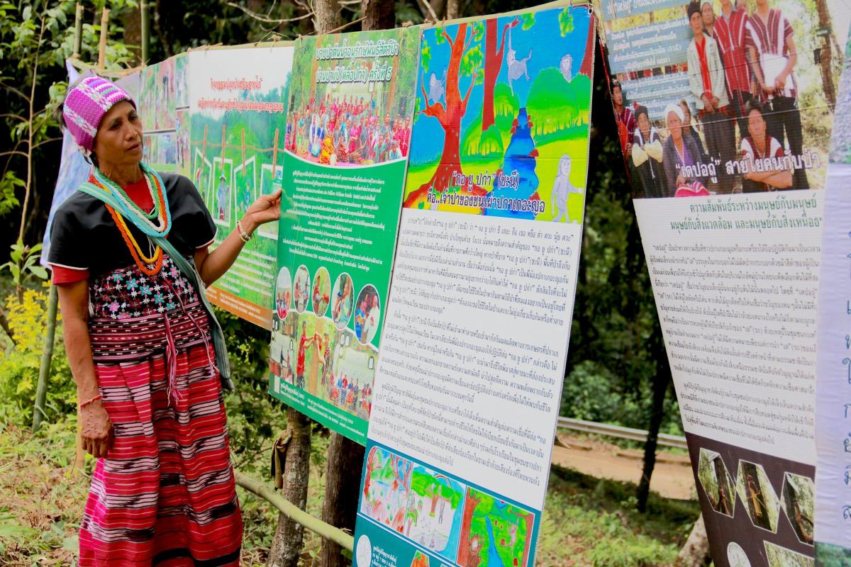
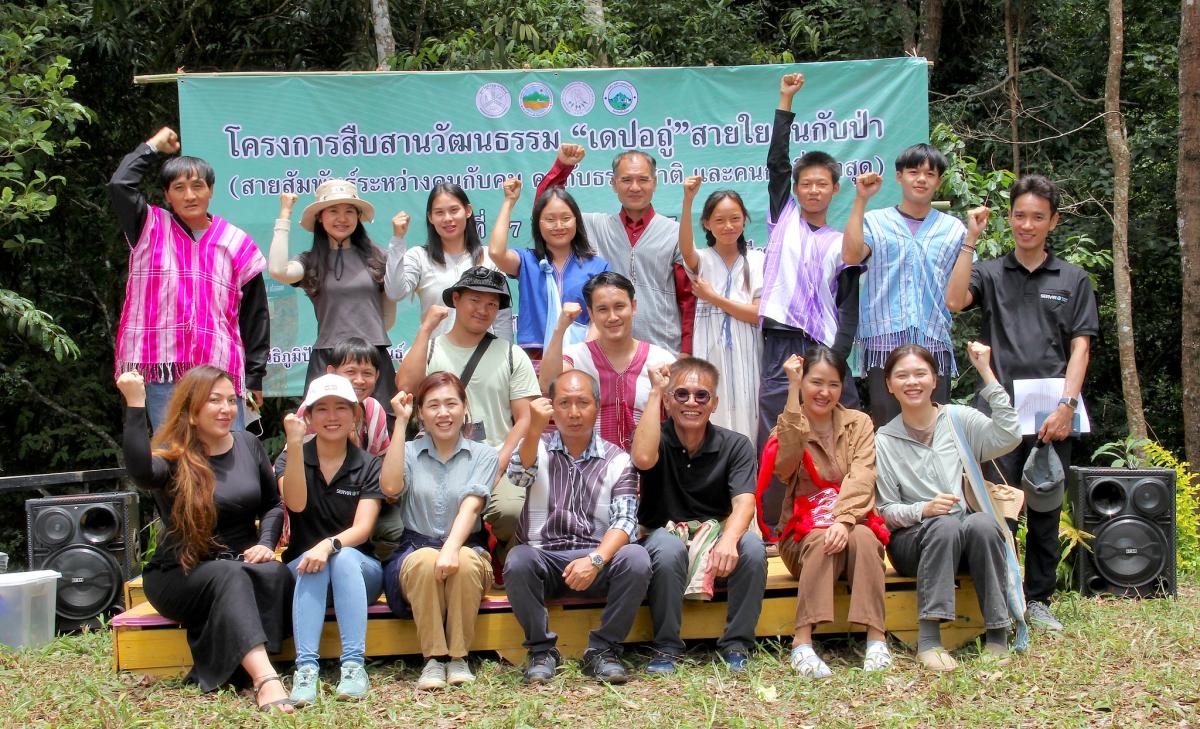
SERVIR SEA and AIPP deepened their collaboration during ICAW in Chiang Mai. AIPP introduced Indigenous Peoples’ Foundation for Education and Environment (IPF) and the Highland Natural Conservation Group in Chomthong (HNCC) as essential networks in northern Thailand, allowing SERVIR SEA to collaborate more directly with Indigenous community leaders and grassroots organizations.
HNCC plays a crucial role in advocating for sustainable forest management and conservation practices while IPF focuses on enhancing education and protecting Indigenous rights.
Such initiatives include the development of a community-based Climate Adaptation Strategy in northern Thailand that aims to identify specific vulnerabilities and needs of the upstream and downstream Indigenous communities and actions to be taken to improve their disaster risk preparedness.
“When the community-based Climate Adaptation Strategy is finalized, it will show a commitment of villages to work together to adapt to the challenges posed by climate change. Each villager’s input and participation in this process underscore our shared responsibility to protect our land and resources,” said Kru Kum, the community leader of the HNCC.
Meanwhile, the SERVIR SEA team has engaged directly with Indigenous communities - particularly with elders, women, and youth - to understand how they receive climate information and identify the most effective channels for communication. The nuanced perspectives on local preferences, observations, and practices will be crucial for tailoring SERVIR SEA’s geospatial tools to meet the specific needs of this community.
In the future, the SERVIR SEA plans to integrate Indigenous knowledge into its Flood Analysis and Drought Watch geospatial tools. Integrating Indigenous knowledge into these tools will ensure that early warnings are context-specific and allow communities to access critical, actionable information to support preparedness for floods and droughts.
While SERVIR SEA will benefit from the Indigenous knowledge for advancing its tools, those communities will benefit by receiving information in ways more helpful to them.
For instance, SERVIR SEA plans to create infographics that use symbols or other visuals of Indigenous knowledge to represent weather patterns or flood risks, simplifying complex geospatial data into visual stories with tamarind, fig, or ants, so the indigenous communities understand the forecast and take action.
As part of its broader goals, SERVIR SEA is also scaling up its climate action activities by bridging its links with the Indigenous communities to knowledge gained in other parts of Southeast Asia.
SERVIR SEA recently introduced AIPP to a 3D participatory mapping exercise that it co-organized in the Putrom village in Cambodia’s Keo Seima Wildlife Sanctuary. Read more: bit.ly/3XXPWL5. AIPP has shown interest in using the model for floods and drought management for the Indigenous communities in northern Thailand.
“Our collaboration with AIPP, Indigenous communities, grassroots organizations and local champions is a crucial step toward nurturing a more inclusive approach to climate challenges. We combine our efforts to ensure that SERVIR SEA’s geospatial tools are effective and help communities to anticipate and manage the impacts of climate change, particularly in addressing the increasing risks of floods and droughts,” said Chinaporn Meechaiya, SERVIR SEA lead for gender equality and social inclusion (GESI).