Using an Innovative Tool to Address Water Management Challenges in the Mekong

Transboundary water management is a challenge to countries in the Lower Mekong. Surface water distribution changes over space and time and these patterns can provide insight into ecological structure and function, patterns of flooding and flood risk, and the impacts on the landscape, infrastructure, and the people at-risk.
The Soil and Water Assessment Tool (SWAT) was introduced to help overcome these challenges by applying a river basin model to quantify the impact of land and water management practices. SERVIR-Mekong received a technical assistance request from the Department of Water Resources Planning under the National Center for Water Resources Planning and Investigation (NAWAPI), Ministry of Natural Resources and Environment in Vietnam for advice on how to best apply the model for Vietnam’s ongoing need for better water management.
In response to the technical assistance request, SERVIR-Mekong worked with the NASA Applied Science Team (AST) to organize a training workshop on SWAT. The SWAT component has been a part of ongoing support to SERVIR-Mekong from NASA’s AST as a collaboration effort with Texas A&M University. SERVIR-Mekong invited Dr. Raghavan Srinivasan, an expert on the SWAT model and professor at Texas A&M University to facilitate the workshop.
“A training like this is very important for the region to help overcome transboundary water issues though challenges vary from country,” says Dr. Srinivasan. “A follow-up training might be useful, where participants can bring their own datasets and share how the tool has been applied.”
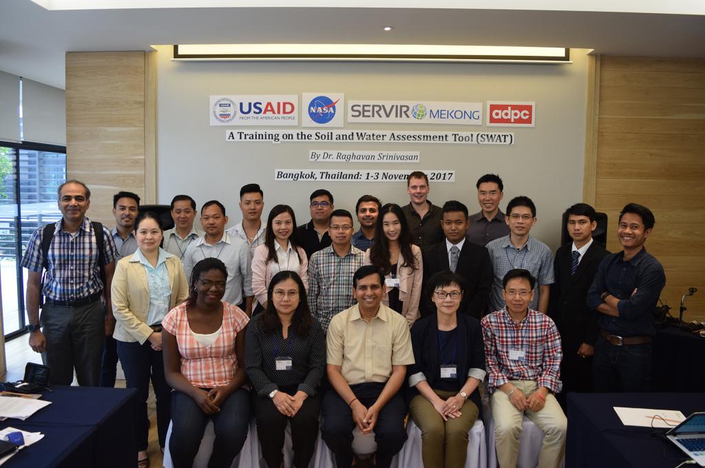
The objective of this training is to introduce the SWAT model, build up capacity in the Mekong region in addition to supporting technical request from NAWAPI. The event, held in Bangkok from November 1 to 3, 2017, brought together participants representing water resource planners and academic institutions from the Lower Mekong region.
“We have been struggling with finding a solution for our water management system,” says Manh Hung Le, a hydrologist from Vietnam’s National Center for Water Resources Planning and Investigation. “This is a great opportunity for us to get together and find ways to overcome the challenges of using the SWAT model.”

During the training workshop, participants were provided the background and theories of the SWAT model, learned how to do watershed delineation, generate stream networks, overlay land use and soil type and integrate dams and reservoir into the model. In addition, participants were also able to learn how to run, recheck model and analyze the results. There was also a simulation session which utilized a region-specific dataset provided by NAWAPI.
“This training not only provides an opportunity to share knowledge and network with other experts in the field, but could contribute to an ongoing case study on reservoir operations in Vietnam as well,” says Dr. Trinh Duc Tran, Researcher and Head of the Department for International Cooperation at the Vietnam Academy for Water Resources. He added that the SWAT tool will also help in future management of water allocation and ultimately improve water quality for the Vietnamese people.


