
SERVIR-MEKONG
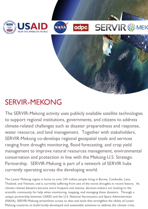
The SERVIR-Mekong activity uses publicly available satellite technologies to support regional institutions, governments, and citizens to address climate-related challenges such as disaster preparedness and response, water resource, and land management. Together with stakeholders, SERVIR-Mekong co-develops regional geospatial tools and services ranging from drought monitoring, flood forecasting, and crop yield management to improve natural resources management, environmental conservation and protection in line with the Mekong-U.S. Strategic Partnership. SERVIR-Mekong is part of a network of SERVIR hubs currently operating across the developing world.