
Rainstorm Tracker
Rainstorm Tracker tool is an operational storm analyzer developed to monitor and alert authorities about the severity of rainstorm events over the Lower Mekong Basin in near-real-time. This system employs a 4D object-based recognition approach to track and evaluate the severity of storms detected by satellites. Using Rainstorm Tracker, regional organizations can improve the flash flood early warning capabilities thereby reducing risk.
Application Purpose
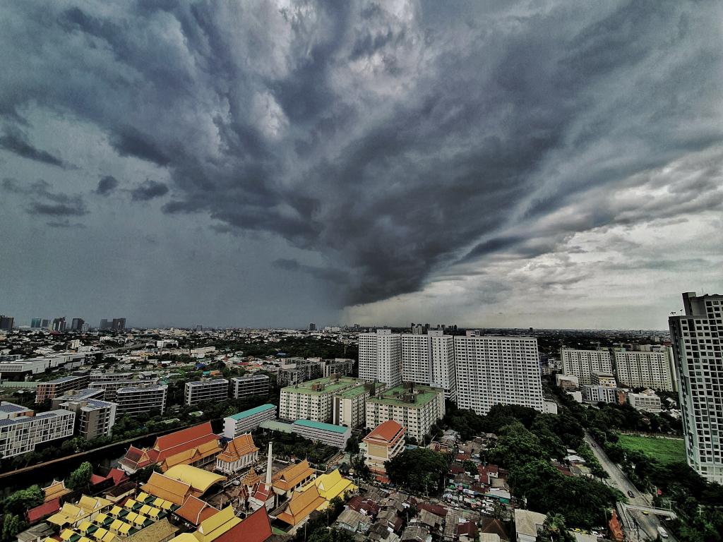
Extreme rainfall events are the main triggering factor for landslides and flash floods in Southeast Asia. According to the Mekong River Commission (MRC), the average annual cost of floods in the Lower Mekong Basin (LMB) ranges from US$60-70 million. In order to support extreme rainfall analysis of regional organizations for flash floods early warning system, SERVIR-Mekong developed the Rainstorm Tracker. This operational web-based platform is designed to monitor and alert decision-makers about the severity of storm events over the Lower Mekong basin in near-real and real-time.
Application Uses
Rainstorm Tracker integrates historical and real-time rainfall data into the MRC’s flash flood guidance system and alerts MRC officials about the probability of rain storms generating flash floods. This accurate and timely information helps the MRC improve the reliability of its flash flood warnings. The Rainstorm Tracker also includes data on population distribution and critical infrastructure such as roads and hospitals. Combining such exposure and vulnerability data with rainstorm severity enables decision makers to estimate the risk faced by people and infrastructure at the district level. As a result, decision makers can take preventive measures to reduce loss of life and property and increase the resilience of communities to climate change across the region.
- IHE Delft Institute for Water Education, Netherlands
- Technical University of Delft, Netherlands
- Mekong River Commission
- Mekong River Commission
- IMERG: Integrated Multi-satellitE Retrievals for GPM | NASA
- GSMaP_NRT JAXA Global Rainfall Watch (GSMaP)