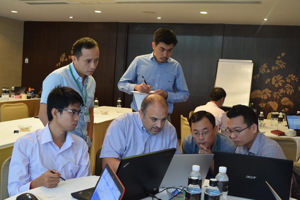
Regional Land Cover Monitoring System - Production Workshop #2 Reference Data and Algorithm Development
Organized and supported by: The USAID & NASA supported SERVIR-Mekong Program, United States Forest Service – Remote Sensing Applications Center (USFS-RSAC), ADB – Core Environment Program, and SilvaCarbon
In 2015, SERVIR-Mekong conducted a geospatial needs assessment for the Lower Mekong countries which included individual country consultations. The assessment revealed that many countries were dependent on land cover and land use maps for land resource planning, quantifying ecosystem services including resilience to climate change, biodiversity conservation, and other critical social issues. Many of the Lower Mekong countries have developed national scale land cover maps derived in part from remote sensing products and geospatial technologies. However, updates are infrequent and classification systems and accuracy assessment do not always meet the needs of key user groups. In addition, data products stop at political boundaries and are often not accessible. Many of the Lower Mekong countries rely on global land cover products to fill the gaps of their national efforts, compromising consistency between data and policies. These gaps in national efforts can be filled by a flexible regional land cover monitoring system that is co-developed by regional partners with the specific intention of meeting national transboundary needs, for example including consistent forest definitions in transboundary watersheds. During this assessment, regional stakeholders identified a need for a land cover monitoring system that will produce frequent, high quality land cover maps using a consistent regional classification scheme that is compatible with national country needs.
Based on this need and demand, SERVIR-Mekong is leveraging the recent development of remote sensing science and technology, such as Google Earth Engine (GEE), and working together with production partners to develop a system that will use a common set of input data sources to generate high-quality regional land cover maps on a regular basis (i.e. annual or every two years). The system is being designed to facilitate improved policy, planning, and decision making by a wide range of users (such as government agencies, local community groups, non-profit organizations, and the private sector). An important component of this system’s design is the ability to leverage the recent developments in remote sensing science and technology that can contribute significantly to more timely land cover inventories. The system’s design will also enable more effective and efficient mapping efforts. For example, GEE allows cloud-based storage and computation of large quantities of remotely sensed data that can be organized in many ways to meet specific needs.
Workshop Objectives
This event will serve as a forum for discussion, consultation and capacity building, bringing together scientists and practitioners from the Mekong Region and beyond working on producing high quality land cover information products to support better decision-making in a wide variety of contexts. The main objectives of the workshop are to:
- Further refine the logic and practical implications of how a system of biophysical land cover characteristics (“land cover data primitives”) can be used to derive map products reflecting multiple classification systems;
- Design, refine, and test the algorithms necessary to derive these primitives;
- Specify the reference data needs and sample design to support these algorithms;
- Maximize consensus on one or more tools that will be used (or developed) to collect and curate high quality reference data; and
- Review and refine the roadmap for completing the overall Regional Land Cover Monitoring System.