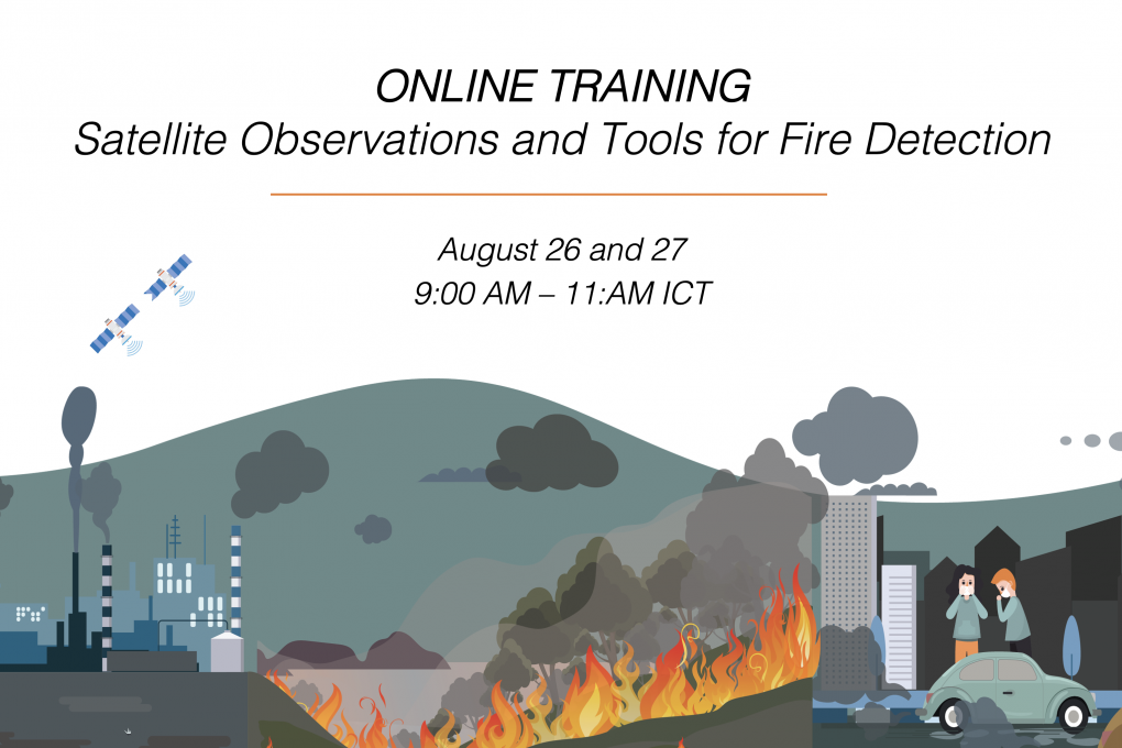
Satellite Observations and Tools for Fire Detection
Background
During hot and dry months, parched vegetation coupled with small human-made fires often results in uncontrolled forest fires. Agricultural burning and forest fires, including transboundary haze, contribute to high levels of pollution. Forest fires release particulate matter (PM) into the atmosphere including PM2.5 which are microscopic particles with a diameter of 2.5 microns or less – 30 times smaller than the diameter of the human hair.
Chronic exposure to PM2.5 increases the risk of developing cardiovascular and respiratory diseases, as well as of lung cancer. A recent research paper published by
Learning Objectives
By the end of this training, participants will be able to apply SERVIR-Mekong’s resources for fire management:
-
Participants will understand how SERVIR-Mekong’s resources are used in decision-making for fire detection purposes.
-
They will have access to freely available web tools developed by SERVIR-Mekong for visualizing and acquiring fire hotspot data.
Prerequisites
Participants should have a basic understanding of remote sensing. This training will also include hands-on exercises.
Expected Participants
This training is primarily intended for local, national, regional, and international organizations and academic institutions involved in agricultural burning, wildfire, air quality management and forecasting. Those with an interest in applying remote sensing and global models for air quality applications will also find this training useful.
Proof of Completion
All participants who successfully complete the training will receive a certificate from ADPC.
Registration
Thanks for your interest. We are no longer accepting registrations.