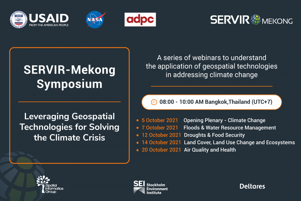
SERVIR-Mekong Symposium: Leveraging Geospatial Technologies for Solving the Climate Crisis
The webinar recordings are available on our Facebook page using the links provided below:
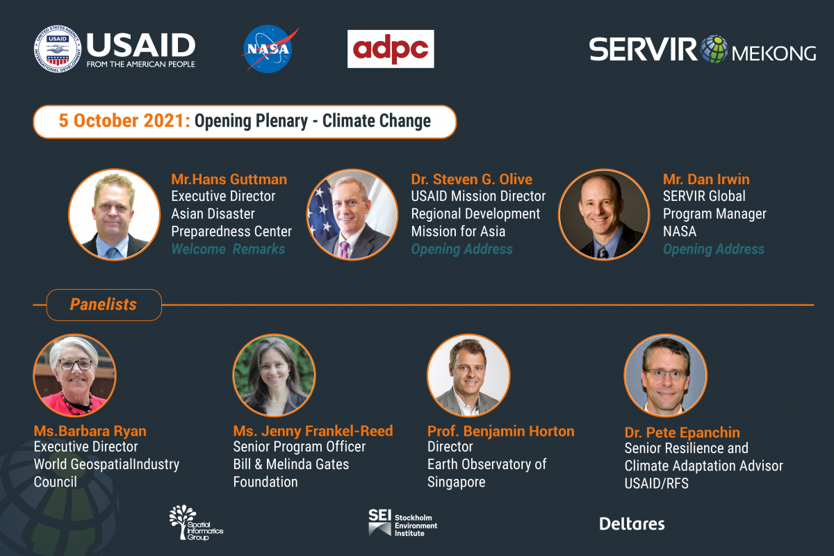
5 October: Opening Plenary: Climate Change
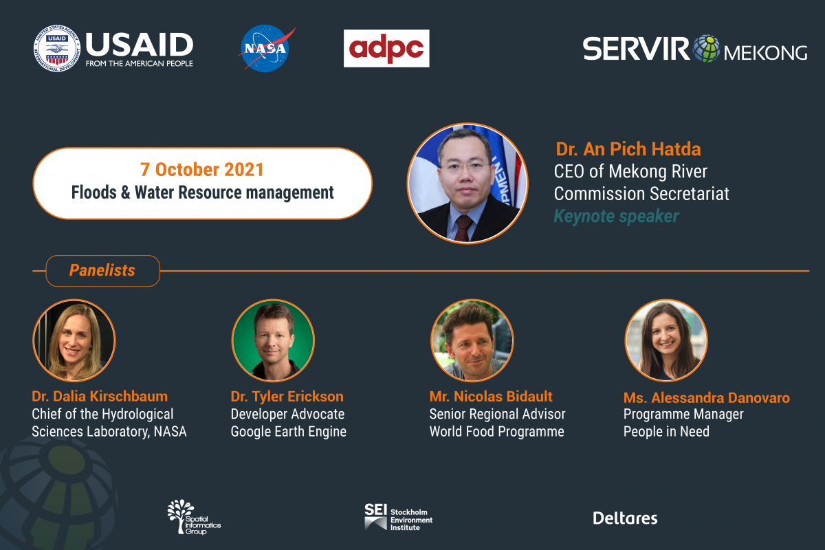
7 October: Floods and Water Resource Management
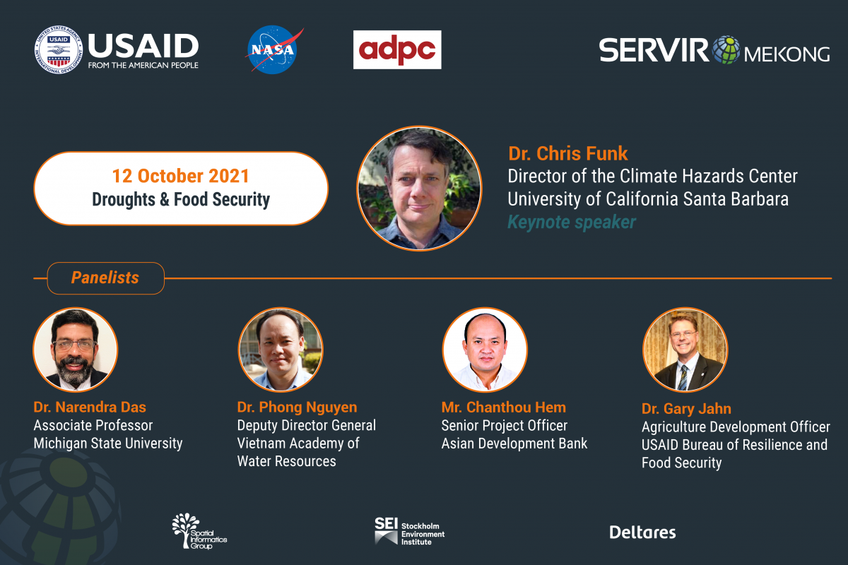
12 October: Droughts and Food Security
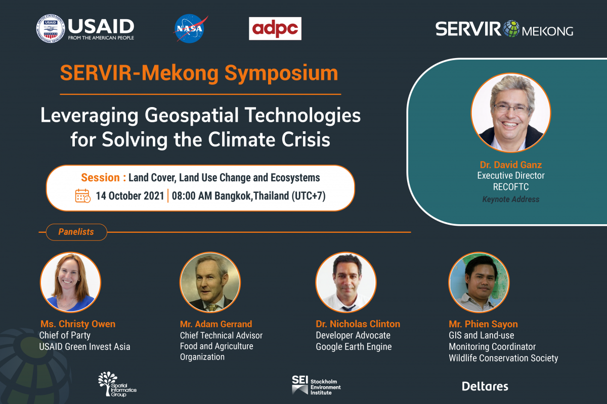
14 October: Land Cover, land Use Change and Ecosystems
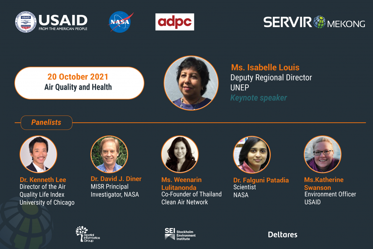
20 October: Air Quality and Health
Background: Earth’s climate is changing and Asia is expected to be impacted severely with rising temperatures, droughts, changes in precipitation, rising sea levels, and loss of natural capital. Rising temperatures in the future will drastically change our lives impacting the way we live and work, grow our food, build infrastructure and interact with our environment. People, physical assets, and national economies are at risk from climate change in Asia. According to a recent McKinsey analysis, damage to physical assets and infrastructure in Asia from riverine flooding in a given year could reach $1.2 Trillion by 2050.
How can Geospatial Technologies Help Countries Deal with Climate Change? Geospatial technologies help address adverse effects of climate change, including reducing human losses from climatic disasters, by informing decisions, policies and actions. Use of geospatial technologies has grown exponentially over recent years and these technologies will continue to provide innovative ways of collecting data, analyzing data, and applying the insights to inform decision-making.
Objectives: This webinar series aims to provide a platform for organizations working to address adverse effects of climate change as well as those who are developing and using geospatial technologies to come together and share experiences and ideas on 1) strengthening the use of existing geospatial technologies for climate change applications and 2) increasing the uptake of such technologies with decision makers in the region.
5 October, 2021: Opening Plenary - Climate Change
7 October, 2021: Floods and Water Resource Management
12 October, 2021: Droughts and Food Security
14 October, 2021: Land Cover, Land Use Change and Ecosystems
20 October, 2021: Air Quality and Health
About SERVIR-Mekong: SERVIR-Mekong is one of the five hubs under SERVIR - a joint development initiative of the United States Agency for International Development (USAID) and National Aeronautics and Space Administration (NASA). SERVIR-Mekog is implemented by the Asian Disaster Preparedness Center (ADPC) and its consortium partners: Deltares, Spatial Informatics Group (SIG), and Stockholm Environment Institute (SEI). It uses geospatial data to enhance climate change adaptation and mitigation and helps address the regional challenge of managing shared natural resources.