
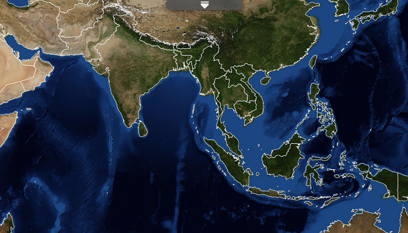
These high quality user-tailored decision support tools and applications have been developed to address on-the-ground issues, empowering decision-makers to act locally on climate-sensitive challenges such as disasters, agriculture, water management, ecosystem protection and land use.
Decision Support Tools

Live
Droughts in Southeast Asia negatively impact ecosystem services, food and water security, and biodiversity. These impacts are exacerbated by climate change, further highlighting the need for improved governance and…

Live
SERVIR Southeast Asia developed the Land and Agriculture Monitoring Project (LAMP) tool in response to a need expressed by stakeholders, who require insight and reports on the effectiveness of biodiversity and…

Live
This service provides near real-time rainfall and stream height data from publicly available satellite measurements by creation of a virtual network of rain gauges and stream gauges at points widely distributed over the…
Live
This tool allows development practitioners, scientists/researchers, and government decision-makers to visualize and download historical rainfall data, vegetation condition data, and 180-day forecasts of rainfall and…

Live
This system guides users in applying peer-reviewed methods and cloud computing power to produce a wide variety of high-quality land cover information products that can be updated regularly and consistently.
Live
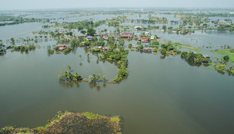
Currently, there is lack of systematic flood risk analysis through collection of local knowledge in order to inform emergency planning, which although critical, takes significant resources and can introduce bias and human…
Live
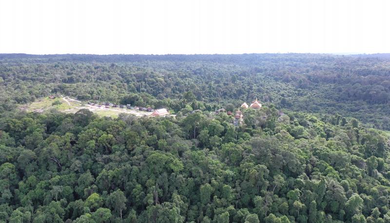
Biophysical M&E Dashboard supports USAID, Cambodia in monitoring and managing large scale sustainable landscape management projects by using satellite data to determine landscape conditions before and after project…
Live
This platform is developed to address two key issues: gender data gap at sub-national level, and accessibility to gender statistics which is critical to examine and track changes in gender inequality.
Live
Air quality is fast becoming a critical challenge across SERVIR regions. Each year, the World Health Organization estimates 7 million deaths occur globally as a result of air pollution exposure, with 2 million of these…
Live
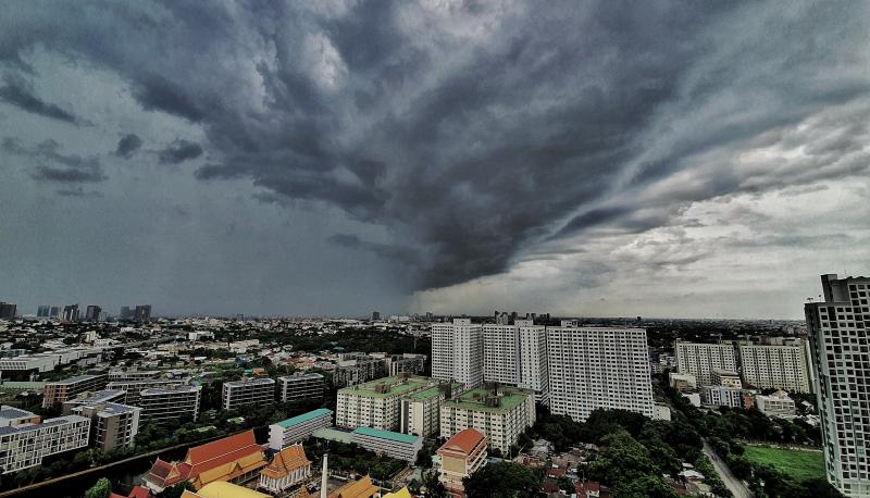
Rainstorm Tracker tool is an operational storm analyzer developed to monitor and alert authorities about the severity of rainstorm events over the Lower Mekong Basin in near-real-time. This system employs a 4D object-…
Live
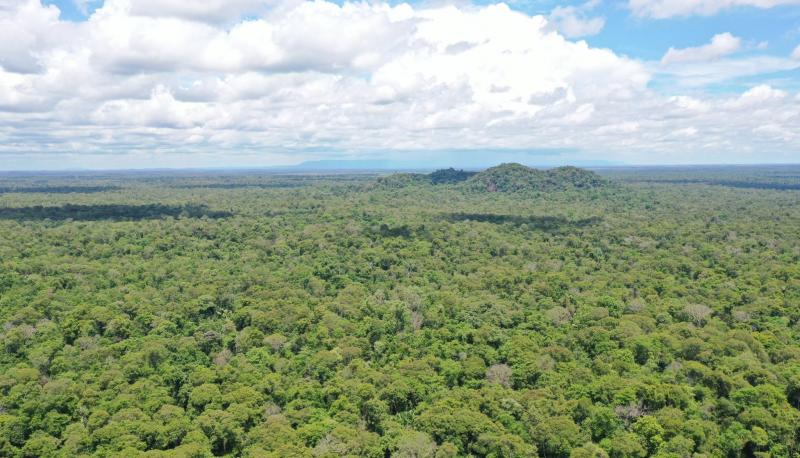
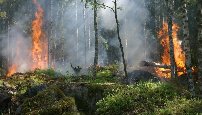
Cambodia Protected Area Alerts System monitors near real-time forest changes and external threats including deforestation, forest fires and floods within the PreyLang Wildlife Sanctuary, a protected area in Cambodia. is a…
Live
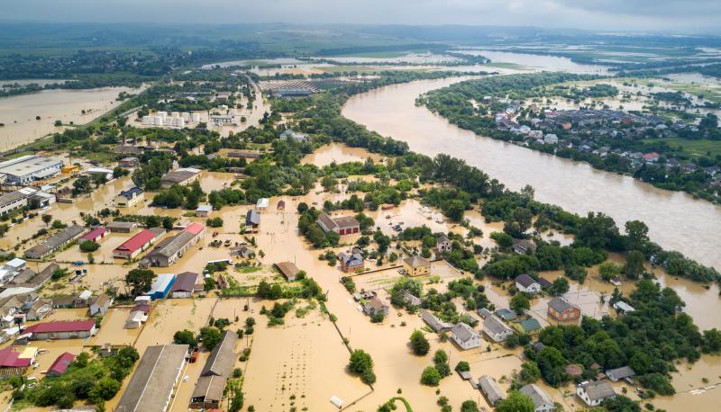
A publicly available, web-based, near real-time flood monitoring tool designed to improve flood monitoring systems using freely available satellite remote sensing data, HYDRAFloods uses Artificial Intelligence (AI) to…