Wednesday, November 9, 2016
The Irrawaddy, Salween, Mekong, and Red rivers are all major international river systems that support millions of people by providing services as…
Wednesday, November 2, 2016
The U.S. Agency for International Development’s (USAID) U.S. Global Development Lab announces the opening of a new funding cycle for international…
Wednesday, September 28, 2016
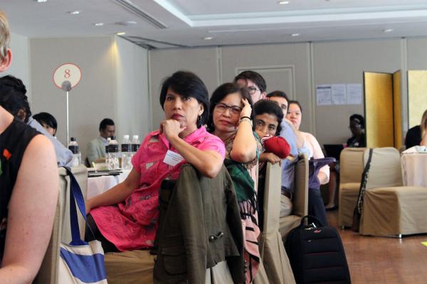
ADPC hosted the Power, vulnerability and agency in disaster risk reduction: A knowledge exchange for sustainable development in Asia from 20–21…
Thursday, September 22, 2016
Amazon Web Services has launched Earth on AWS, a new landing page that highlights large geospatial datasets made openly available in the cloud as AWS…
Thursday, August 18, 2016
Take a look at this land cover photo. What do you see? Is it a forest, agriculture, water or something else?
Photo Credit: Google
It may seem…
Wednesday, June 15, 2016
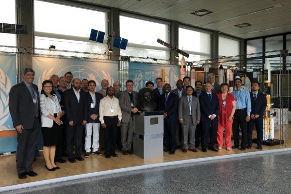
UN-SPIDER and ADPC sign agreement formalizing ADPC’s role as Regional Support Office. As the Regional Support Office, ADPC will enhance awareness and…
Tuesday, June 7, 2016
The Nairobi Work Programme’s report outlining best practices across regions by Government and agencies in climate change and adaptation initiatives…
Wednesday, April 13, 2016
ADPC and SERVIR-Mekong assessed the need for geospatial data and technologies to support decision-making in environmental management, resilience…
Tuesday, June 7, 2016
With the first Landsat instrument coming online in 1972, the Landsat missions have produced the world’s longest continuous record of medium-…
Tuesday, June 7, 2016
We are pleased to announce that the formal launch of SERVIR-Mekong took place on August 31, 2015 at the Asian Disaster Preparedness Center (ADPC)…


